Area Overview for SW11 6NX
Photos of SW11 6NX
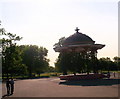
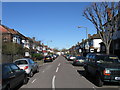
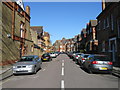
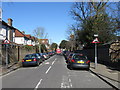
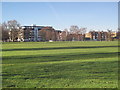
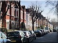
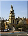
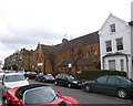
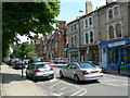
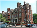
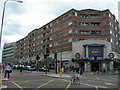
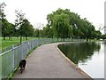
100 photos from this area
Area Information
Key information about the SW11 6NX including its size, population, and administrative classification.
- Area Type
- Postcode
- Area Size
- 4386 m²
- Population
- 1724
- Population Density
- 12306 people/km²
House Prices in SW11 6NX
26
Properties
£1,075,268
Average Sold Price
£310,000
Lowest Price
£1,490,000
Highest Price
Showing 26 properties
| Address | Type | Beds | Baths | Last Sale Price | Last Sale Date | |
|---|---|---|---|---|---|---|
| 63 Muncaster Road, London, SW11 6NX | Terraced | 4 | 2 | £1,420,000 | Sep 2022 | |
| 61 Muncaster Road, London, SW11 6NX | Terraced | 4 | 2 | £1,380,000 | Aug 2022 | |
| 47 Muncaster Road, London, SW11 6NX | house | 4 | 2 | £1,465,000 | Jul 2022 | |
| 77 Muncaster Road, London, SW11 6NX | house | 3 | 1 | £1,017,500 | Jul 2020 | |
| 75 Muncaster Road, London, SW11 6NX | Terraced | 3 | 3 | £1,490,000 | Dec 2019 | |
| 43 Muncaster Road, London, SW11 6NX | Terraced | 5 | 3 | £1,275,000 | Sep 2019 | |
| 65 Muncaster Road, London, SW11 6NX | Terraced | 4 | 2 | £1,250,000 | Jun 2019 | |
| 33 Muncaster Road, London, SW11 6NX | Terraced | 4 | 2 | £1,050,000 | May 2018 | |
| 55 Muncaster Road, London, SW11 6NX | Terraced | 5 | 2 | £1,310,000 | Jun 2017 | |
| 69 Muncaster Road, London, SW11 6NX | Terraced | 4 | 2 | £1,320,000 | May 2015 |
Page 1 of 3
Energy Efficiency in SW11 6NX
Amenities
Schools
| Rank | School | Type | Entry gender | Ages |
|---|
Explore more schools in this area
Go to Schools tabDemographics
Household Size
Family (3-5 people)
most common
Accommodation Type
Houses
most common
Tenure
73
majority
Ethnic Group
White
most common
Religion
N/A
most common
Household Composition
N/A
most common
Age
47
median
Adults (30-64 years)
most common
Household Deprivation
N/A
with no deprivation
NS-SEC
69
in Lower managerial occupations
Explore more demographic insights in this area
Go to Demographics tabPlanning
Planning Constraints
- Flood RiskPremium
- Ramsar Wetland SitesPremium
- Area of Outstanding Natural BeautyPremium
- Protected Nature ReservePremium
- Protected WoodlandPremium