Area Overview for SW11 6JA
Photos of SW11 6JA
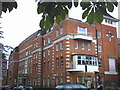
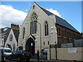
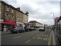
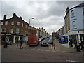
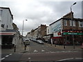
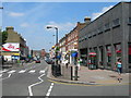
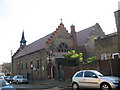
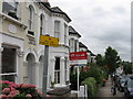
100 photos from this area
Area Information
Key information about the SW11 6JA including its size, population, and administrative classification.
- Area Type
- Postcode
- Area Size
- 1.0 hectares
- Population
- 1468
- Population Density
- 8294 people/km²
House Prices in SW11 6JA
46
Properties
£1,540,556
Average Sold Price
£105,000
Lowest Price
£2,925,000
Highest Price
Showing 46 properties
| Address | Type | Beds | Baths | Last Sale Price | Last Sale Date | |
|---|---|---|---|---|---|---|
| 15 Dents Road, London, SW11 6JA | Semi-detached | 4 | 2 | £2,925,000 | Apr 2025 | |
| 20 Dents Road, London, SW11 6JA | Semi-detached | 5 | 2 | £1,970,000 | May 2024 | |
| 31 Dents Road, London, SW11 6JA | Semi-detached | 4 | 3 | £2,240,000 | Aug 2022 | |
| 19 Dents Road, London, SW11 6JA | Semi-detached | 5 | - | £1,750,000 | May 2014 | |
| 18 Dents Road, London, SW11 6JA | Semi-detached | 5 | 3 | £2,200,000 | Mar 2014 | |
| 32 Dents Road, London, SW11 6JA | Semi-detached | 5 | 2 | £850,000 | Mar 2009 | |
| 17 Dents Road, London, SW11 6JA | Semi-detached | - | - | £875,000 | Aug 2002 | |
| 30 Dents Road, London, SW11 6JA | house | 5 | - | £950,000 | Apr 2001 | |
| 33 Dents Road, London, SW11 6JA | Semi-detached | - | - | £105,000 | Feb 2001 | |
| 3 Dents Road, London, SW11 6JA | Flat | 2 | 1 | - | - |
Page 1 of 5
Energy Efficiency in SW11 6JA
Amenities
Schools
| Rank | School | Type | Entry gender | Ages |
|---|
Explore more schools in this area
Go to Schools tabDemographics
Household Size
Family (3-5 people)
most common
Accommodation Type
Houses
most common
Tenure
61
majority
Ethnic Group
White
most common
Religion
N/A
most common
Household Composition
N/A
most common
Age
47
median
Adults (30-64 years)
most common
Household Deprivation
N/A
with no deprivation
NS-SEC
60
in Lower managerial occupations
Explore more demographic insights in this area
Go to Demographics tabPlanning
Planning Constraints
- Flood RiskPremium
- Ramsar Wetland SitesPremium
- Area of Outstanding Natural BeautyPremium
- Protected Nature ReservePremium
- Protected WoodlandPremium