Area Overview for SW11 6AB
Photos of SW11 6AB
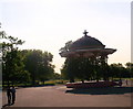
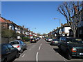
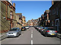
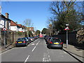
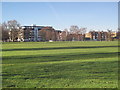
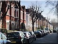
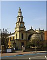
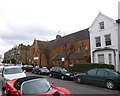
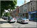
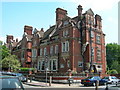
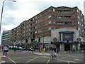
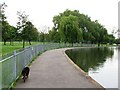
100 photos from this area
Area Information
Key information about the SW11 6AB including its size, population, and administrative classification.
- Area Type
- Postcode
- Area Size
- 7294 m²
- Population
- 1657
- Population Density
- 8064 people/km²
House Prices in SW11 6AB
56
Properties
£1,026,566
Average Sold Price
£210,000
Lowest Price
£2,035,000
Highest Price
Showing 56 properties
| Address | Type | Beds | Baths | Last Sale Price | Last Sale Date | |
|---|---|---|---|---|---|---|
| 68 Broxash Road, London, SW11 6AB | Terraced | 5 | 2 | £1,930,001 | Aug 2025 | |
| 24 Broxash Road, London, SW11 6AB | Terraced | 5 | 2 | £1,885,000 | Mar 2025 | |
| 88 Broxash Road, London, SW11 6AB | house | - | - | £1,508,000 | Oct 2023 | |
| 8 Broxash Road, London, SW11 6AB | Terraced | 5 | 3 | £2,035,000 | Aug 2022 | |
| 78 Broxash Road, London, SW11 6AB | Retail | 4 | 3 | £1,536,750 | Aug 2022 | |
| 74 Broxash Road, London, SW11 6AB | Terraced | 5 | 3 | £1,370,000 | Feb 2021 | |
| 40 Broxash Road, London, SW11 6AB | Terraced | 4 | 2 | £1,575,000 | Oct 2020 | |
| 20 Broxash Road, London, SW11 6AB | Terraced | 5 | 2 | £1,650,000 | Apr 2020 | |
| 38 Broxash Road, London, SW11 6AB | Terraced | 4 | - | £1,285,000 | Mar 2020 | |
| 36 Broxash Road, London, SW11 6AB | Terraced | 5 | 2 | £1,222,500 | Aug 2018 |
Page 1 of 6
Energy Efficiency in SW11 6AB
Amenities
Schools
| Rank | School | Type | Entry gender | Ages |
|---|
Explore more schools in this area
Go to Schools tabDemographics
Household Size
Family (3-5 people)
most common
Accommodation Type
Houses
most common
Tenure
72
majority
Ethnic Group
White
most common
Religion
N/A
most common
Household Composition
N/A
most common
Age
47
median
Adults (30-64 years)
most common
Household Deprivation
N/A
with no deprivation
NS-SEC
67
in Lower managerial occupations
Explore more demographic insights in this area
Go to Demographics tabPlanning
Planning Constraints
- Flood RiskPremium
- Ramsar Wetland SitesPremium
- Area of Outstanding Natural BeautyPremium
- Protected Nature ReservePremium
- Protected WoodlandPremium