Area Overview for SW11 3JH
Photos of SW11 3JH
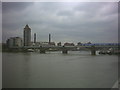
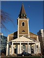
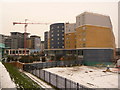
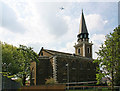
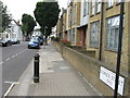
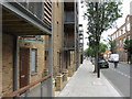
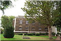
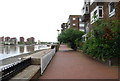
100 photos from this area
Area Information
Key information about the SW11 3JH including its size, population, and administrative classification.
- Area Type
- Postcode
- Area Size
- 1801 m²
- Population
- 1781
- Population Density
- 15609 people/km²
House Prices in SW11 3JH
16
Properties
£397,400
Average Sold Price
£105,000
Lowest Price
£620,000
Highest Price
Showing 16 properties
| Address | Type | Beds | Baths | Last Sale Price | Last Sale Date | |
|---|---|---|---|---|---|---|
| 26 Granfield Street, London, SW11 3JH | Flat | 3 | - | £528,000 | Feb 2018 | |
| 14 Granfield Street, London, SW11 3JH | Flat | 3 | 2 | £620,000 | Aug 2015 | |
| 28 Granfield Street, London, SW11 3JH | Maisonette | 3 | 1 | £590,000 | Apr 2014 | |
| 32 Granfield Street, London, SW11 3JH | Flat | 3 | 1 | £430,000 | Jun 2013 | |
| 12 Granfield Street, London, SW11 3JH | Maisonette | - | - | £435,000 | Jun 2010 | |
| 16 Granfield Street, London, SW11 3JH | Maisonette | - | - | £410,000 | Jun 2009 | |
| 2 Granfield Street, London, SW11 3JH | Maisonette | 3 | 1 | £340,000 | Dec 2006 | |
| 8 Granfield Street, London, SW11 3JH | Flat | - | - | £330,000 | Nov 2002 | |
| 4 Granfield Street, London, SW11 3JH | Flat | 3 | 2 | £186,000 | Aug 1999 | |
| 20 Granfield Street, London, SW11 3JH | Maisonette | - | - | £105,000 | Feb 1997 |
Page 1 of 2
Energy Efficiency in SW11 3JH
Amenities
Schools
| Rank | School | Type | Entry gender | Ages |
|---|
Explore more schools in this area
Go to Schools tabDemographics
Household Size
One person
most common
Accommodation Type
Flats
most common
Tenure
39
majority
Ethnic Group
White
most common
Religion
N/A
most common
Household Composition
N/A
most common
Age
47
median
Adults (30-64 years)
most common
Household Deprivation
N/A
with no deprivation
NS-SEC
52
in Lower managerial occupations
Explore more demographic insights in this area
Go to Demographics tabPlanning
Planning Constraints
- Flood RiskPremium
- Ramsar Wetland SitesPremium
- Area of Outstanding Natural BeautyPremium
- Protected Nature ReservePremium
- Protected WoodlandPremium