Area Overview for SW11 3EG
Photos of SW11 3EG
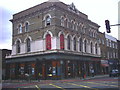
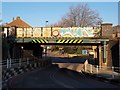
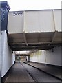
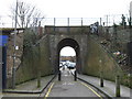
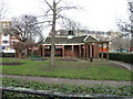
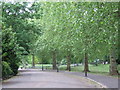
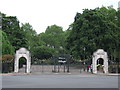

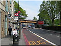
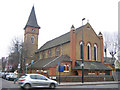
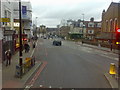
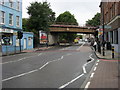
100 photos from this area
Area Information
Key information about the SW11 3EG including its size, population, and administrative classification.
- Area Type
- Postcode
- Area Size
- 3246 m²
- Population
- 1871
- Population Density
- 15937 people/km²
House Prices in SW11 3EG
33
Properties
£367,771
Average Sold Price
£73,935
Lowest Price
£995,000
Highest Price
Showing 33 properties
| Address | Type | Beds | Baths | Last Sale Price | Last Sale Date | |
|---|---|---|---|---|---|---|
| 2A Stanmer Street, London, SW11 3EG | Flat | 1 | 1 | £525,000 | Jul 2022 | |
| 36 Stanmer Street, London, SW11 3EG | Flat | - | - | £530,000 | Oct 2019 | |
| 44 Stanmer Street, London, SW11 3EG | house | - | - | £995,000 | Apr 2017 | |
| 34 Stanmer Street, London, SW11 3EG | Flat | - | - | £330,000 | Oct 2011 | |
| 52 Stanmer Street, London, SW11 3EG | Terraced | - | - | £389,000 | Nov 2004 | |
| 2C Stanmer Street, London, SW11 3EG | Retail | 1 | 1 | £240,000 | Jan 2004 | |
| 28 Stanmer Street, London, SW11 3EG | Terraced | - | - | £73,935 | Aug 2002 | |
| 32 Stanmer Street, London, SW11 3EG | Flat | - | - | £117,000 | Jun 1999 | |
| 10A Stanmer Street, London, SW11 3EG | Terraced | - | - | £110,000 | May 1995 | |
| 2B Stanmer Street, London, SW11 3EG | Flat | 1 | 1 | - | - |
Page 1 of 4
Energy Efficiency in SW11 3EG
Amenities
Schools
| Rank | School | Type | Entry gender | Ages |
|---|
Explore more schools in this area
Go to Schools tabDemographics
Household Size
Two person
most common
Accommodation Type
Flats
most common
Tenure
42
majority
Ethnic Group
White
most common
Religion
N/A
most common
Household Composition
N/A
most common
Age
47
median
Adults (30-64 years)
most common
Household Deprivation
N/A
with no deprivation
NS-SEC
52
in Lower managerial occupations
Explore more demographic insights in this area
Go to Demographics tabPlanning
Planning Constraints
- Flood RiskPremium
- Ramsar Wetland SitesPremium
- Area of Outstanding Natural BeautyPremium
- Protected Nature ReservePremium
- Protected WoodlandPremium