Area Overview for SW11 3AE
Photos of SW11 3AE
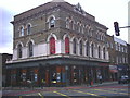
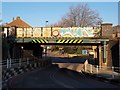
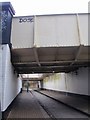
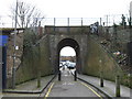
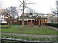
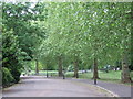
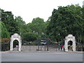
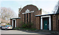
100 photos from this area
Area Information
Key information about the SW11 3AE including its size, population, and administrative classification.
- Area Type
- Postcode
- Area Size
- 3220 m²
- Population
- 1848
- Population Density
- 15948 people/km²
House Prices in SW11 3AE
28
Properties
£766,071
Average Sold Price
£162,500
Lowest Price
£1,180,000
Highest Price
Showing 28 properties
| Address | Type | Beds | Baths | Last Sale Price | Last Sale Date | |
|---|---|---|---|---|---|---|
| 210 Battersea Bridge Road, London, SW11 3AE | Terraced | 4 | 2 | £865,000 | Oct 2025 | |
| 190 Battersea Bridge Road, London, SW11 3AE | Terraced | 2 | 1 | £875,000 | Mar 2024 | |
| Brook House, 188B Battersea Bridge Road, London, SW11 3AE | Terraced | 3 | 2 | £1,060,000 | Jun 2021 | |
| 208 Battersea Bridge Road, London, SW11 3AE | Terraced | 2 | 2 | £960,000 | Oct 2016 | |
| 212 Battersea Bridge Road, London, SW11 3AE | house | 2 | 1 | £1,180,000 | Nov 2015 | |
| 206 Battersea Bridge Road, London, SW11 3AE | house | 3 | 1 | £260,000 | Aug 2004 | |
| 194A Battersea Bridge Road, London, SW11 3AE | Flat | 3 | 1 | £162,500 | Jun 1999 | |
| Battersea Park House, 202A Battersea Bridge Road, London, SW11 3AE | Flat | 3 | 2 | - | - | |
| Flat 2, The Prince Of Wales, 186 Battersea Bridge Road, London, SW11 3AE | Flat | 1 | 1 | - | - | |
| Falcon House, 188A Battersea Bridge Road, London, SW11 3AE | Semi-detached | 4 | 2 | - | - |
Page 1 of 3
Energy Efficiency in SW11 3AE
Amenities
Schools
| Rank | School | Type | Entry gender | Ages |
|---|
Explore more schools in this area
Go to Schools tabDemographics
Household Size
One person
most common
Accommodation Type
Flats
most common
Tenure
46
majority
Ethnic Group
White
most common
Religion
N/A
most common
Household Composition
N/A
most common
Age
47
median
Adults (30-64 years)
most common
Household Deprivation
N/A
with no deprivation
NS-SEC
51
in Lower managerial occupations
Explore more demographic insights in this area
Go to Demographics tabPlanning
Planning Constraints
- Flood RiskPremium
- Ramsar Wetland SitesPremium
- Area of Outstanding Natural BeautyPremium
- Protected Nature ReservePremium
- Protected WoodlandPremium