Area Overview for SW11 2TR
Photos of SW11 2TR
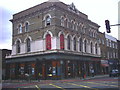
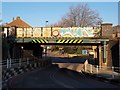
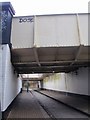
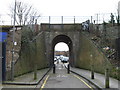
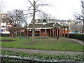
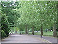
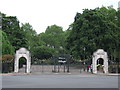
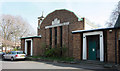
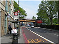
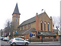
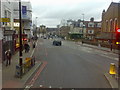
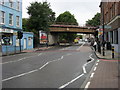
100 photos from this area
Area Information
Key information about the SW11 2TR including its size, population, and administrative classification.
- Area Type
- Postcode
- Area Size
- 4318 m²
- Population
- 1920
- Population Density
- 7491 people/km²
House Prices in SW11 2TR
44
Properties
£239,353
Average Sold Price
£43,000
Lowest Price
£477,550
Highest Price
Showing 44 properties
| Address | Type | Beds | Baths | Last Sale Price | Last Sale Date | |
|---|---|---|---|---|---|---|
| 14 Wayford Street, London, SW11 2TR | Flat | 2 | - | £477,550 | Jun 2024 | |
| 23 Wayford Street, London, SW11 2TR | Flat | 4 | 2 | £462,000 | Jun 2020 | |
| 5 Wayford Street, London, SW11 2TR | Flat | - | - | £445,000 | Jul 2018 | |
| 29 Wayford Street, London, SW11 2TR | Flat | - | - | £140,000 | Oct 2013 | |
| 13 Wayford Street, London, SW11 2TR | Flat | - | - | £355,000 | May 2013 | |
| 40 Wayford Street, London, SW11 2TR | Flat | - | - | £260,000 | Feb 2012 | |
| 25 Wayford Street, London, SW11 2TR | Flat | 1 | 1 | £270,000 | Dec 2011 | |
| 42 Wayford Street, London, SW11 2TR | Flat | 4 | - | £280,000 | Mar 2010 | |
| 15 Wayford Street, London, SW11 2TR | Flat | - | - | £185,995 | Aug 2008 | |
| 20 Wayford Street, London, SW11 2TR | Flat | - | - | £250,000 | Dec 2007 |
Page 1 of 5
Energy Efficiency in SW11 2TR
Amenities
Schools
| Rank | School | Type | Entry gender | Ages |
|---|
Explore more schools in this area
Go to Schools tabDemographics
Household Size
Family (3-5 people)
most common
Accommodation Type
Houses
most common
Tenure
52
majority
Ethnic Group
White
most common
Religion
N/A
most common
Household Composition
N/A
most common
Age
47
median
Adults (30-64 years)
most common
Household Deprivation
N/A
with no deprivation
NS-SEC
64
in Lower managerial occupations
Explore more demographic insights in this area
Go to Demographics tabPlanning
Planning Constraints
- Flood RiskPremium
- Ramsar Wetland SitesPremium
- Area of Outstanding Natural BeautyPremium
- Protected Nature ReservePremium
- Protected WoodlandPremium