Area Overview for SW11 2AU
Photos of SW11 2AU
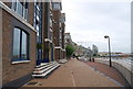
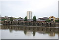
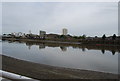
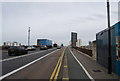
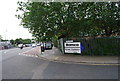
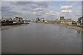
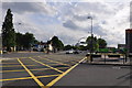
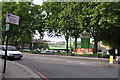
100 photos from this area
Area Information
Key information about the SW11 2AU including its size, population, and administrative classification.
- Area Type
- Postcode
- Area Size
- 3468 m²
- Population
- 2072
- Population Density
- 17589 people/km²
House Prices in SW11 2AU
45
Properties
£288,875
Average Sold Price
£158,000
Lowest Price
£399,000
Highest Price
Showing 45 properties
| Address | Type | Beds | Baths | Last Sale Price | Last Sale Date | |
|---|---|---|---|---|---|---|
| 70 Holgate Avenue, London, SW11 2AU | Flat | - | - | £387,500 | Jul 2023 | |
| 60 Holgate Avenue, London, SW11 2AU | Flat | 2 | 1 | £399,000 | Oct 2022 | |
| 44 Holgate Avenue, London, SW11 2AU | Flat | 2 | 1 | £365,000 | Sep 2022 | |
| 56 Holgate Avenue, London, SW11 2AU | Flat | 2 | 1 | £370,000 | May 2019 | |
| 66 Holgate Avenue, London, SW11 2AU | Flat | - | - | £350,000 | Feb 2018 | |
| 58 Holgate Avenue, London, SW11 2AU | Flat | 2 | 1 | £392,000 | Jun 2016 | |
| 52 Holgate Avenue, London, SW11 2AU | Flat | - | - | £240,000 | Dec 2012 | |
| 16 Holgate Avenue, London, SW11 2AU | Flat | - | - | £200,000 | Aug 2008 | |
| 84 Holgate Avenue, London, SW11 2AU | Flat | 1 | 1 | £168,000 | Nov 2006 | |
| 10 Holgate Avenue, London, SW11 2AU | Flat | - | - | £218,000 | Oct 2006 |
Page 1 of 5
Energy Efficiency in SW11 2AU
Amenities
Schools
| Rank | School | Type | Entry gender | Ages |
|---|
Explore more schools in this area
Go to Schools tabDemographics
Household Size
One person
most common
Accommodation Type
Flats
most common
Tenure
23
majority
Ethnic Group
White
most common
Religion
N/A
most common
Household Composition
N/A
most common
Age
47
median
Adults (30-64 years)
most common
Household Deprivation
N/A
with no deprivation
NS-SEC
37
in Lower managerial occupations
Explore more demographic insights in this area
Go to Demographics tabPlanning
Planning Constraints
- Flood RiskPremium
- Ramsar Wetland SitesPremium
- Area of Outstanding Natural BeautyPremium
- Protected Nature ReservePremium
- Protected WoodlandPremium