Area Overview for Southfields Ward
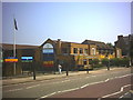
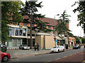
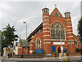
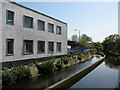
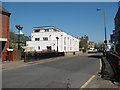
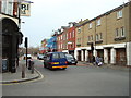
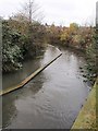
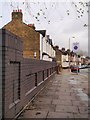
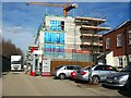
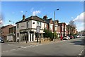
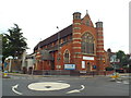
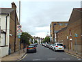
Photos of Southfields Ward
Area Information
Southfields Ward is a very compact district within the borough, covering just 1.1 km². This small footprint means the locality is easily navigable on foot or by short car journeys, offering convenience for daily commutes and local errands. Residents here experience a specific type of urban living characterised by a high concentration of people within a confined space. The area functions as a dense neighbourhood rather than a sprawling suburb, which influences the pace of life and the proximity of services. You will find that the built environment reflects its status as a defined ward with clear administrative boundaries, creating a distinct sense of place. Daily life in Southfields Ward revolves around this tight-knit geography where residents are naturally close to one another. The compact nature of the ward ensures that essential amenities are often within walking distance, reducing reliance on long-distance travel for basic needs. This physical layout defines the community experience, bringing a practical efficiency to living arrangements. Potential buyers should appreciate how the small size of 1.1 km² fosters immediate access to the immediate surroundings without the need for extensive transportation links. The ward presents a straightforward profile where every square metre contributes to the overall residential fabric. You get a concentrated living environment that prioritises accessibility over extensive green space or large-scale infrastructure. The distinct identity of Southfields Ward is carved out of its limited geographical dimensions, making it a unique choice for those seeking a very specific, contained urban lifestyle.
- Area Type
- District Borough Unitary Ward
- Area Size
- 1.1 km²
- Population
- Not available
- Population Density
- Not available
Demographics
The community in Southfields Ward presents a distinctly mature demographic profile, with a median age of 70 years. This high median age indicates that the area is predominantly populated by retirees or older residents who have moved here for its quiet atmosphere and established facilities. A significant portion of the workforce likely resides elsewhere, as the local population skew towards the oldest age groups in standard UK demographic data. Home ownership stands at a solid 60%, suggesting that a large majority of households have secured their properties rather than renting. This high rate of ownership often correlates with stability and long-term residency, typical of areas favoured by the older demographic. The household composition in Southfields Ward reflects this older population, with many homes likely occupied by singles or couples without dependent children. You will notice a dynamic where stability outweighs rapid turnover, creating a settled environment. The accommodation types available align with the needs of older residents, though specific breakdowns by property type are not detailed in current records. Diversity metrics across ethnicity, religion, and household types are recorded as totals, indicating a comprehensive coverage of the population, even if further granular analysis is required. The area maintains a very clear social character driven by its age profile. Understanding that the most common age category encompasses the total population helps frame the general daily interactions and community rituals you would encounter as a new arrival.
Household Size
Accommodation Type
Tenure
Ethnic Group
Religion
Household Composition
Age
Household Deprivation
NS-SEC
Explore more demographic insights in this area
Go to Demographics tabPlanning
Planning Constraints
- Flood RiskPremium
- Ramsar Wetland SitesPremium
- Area of Outstanding Natural BeautyPremium
- Protected Nature ReservePremium
- Protected WoodlandPremium