Area Overview for SM6 9NY
Photos of SM6 9NY
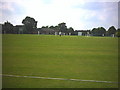
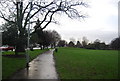
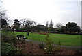
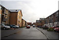
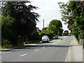
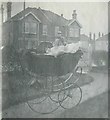
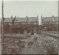
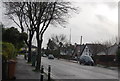
77 photos from this area
Area Information
Key information about the SM6 9NY including its size, population, and administrative classification.
- Area Type
- Postcode
- Area Size
- 1.3 hectares
- Population
- 1617
- Population Density
- 7037 people/km²
House Prices in SM6 9NY
28
Properties
£504,148
Average Sold Price
£118,000
Lowest Price
£900,000
Highest Price
Showing 28 properties
| Address | Type | Beds | Baths | Last Sale Price | Last Sale Date | |
|---|---|---|---|---|---|---|
| 2 Hillside Gardens, Wallington, SM6 9NY | Detached | 4 | 2 | £900,000 | Aug 2025 | |
| 46 Hillside Gardens, Wallington, SM6 9NY | Semi-detached | - | - | £662,000 | Aug 2023 | |
| 8 Hillside Gardens, Wallington, SM6 9NY | Detached | 4 | 2 | £735,000 | May 2022 | |
| 50 Hillside Gardens, Wallington, SM6 9NY | house | - | - | £695,000 | Nov 2020 | |
| 26 Hillside Gardens, Wallington, SM6 9NY | Semi-detached | 5 | 2 | £732,500 | Feb 2019 | |
| 10 Hillside Gardens, Wallington, SM6 9NY | Semi-detached | 4 | 1 | £630,000 | Oct 2018 | |
| 54 Hillside Gardens, Wallington, SM6 9NY | Semi-detached | 3 | 1 | £582,500 | Sep 2018 | |
| 6 Hillside Gardens, Wallington, SM6 9NY | Semi-detached | 4 | 1 | £625,000 | Jun 2018 | |
| 34 Hillside Gardens, Wallington, SM6 9NY | Semi-detached | 4 | 2 | £610,000 | Mar 2018 | |
| 20 Hillside Gardens, Wallington, SM6 9NY | Semi-detached | 4 | 3 | £670,000 | Jan 2017 |
Page 1 of 3
Energy Efficiency in SM6 9NY
Amenities
Schools
| Rank | School | Type | Entry gender | Ages |
|---|
Explore more schools in this area
Go to Schools tabDemographics
Household Size
Family (3-5 people)
most common
Accommodation Type
Houses
most common
Tenure
81
majority
Ethnic Group
White
most common
Religion
N/A
most common
Household Composition
N/A
most common
Age
47
median
Adults (30-64 years)
most common
Household Deprivation
N/A
with no deprivation
NS-SEC
48
in Lower managerial occupations
Explore more demographic insights in this area
Go to Demographics tabPlanning
Planning Constraints
- Flood RiskPremium
- Ramsar Wetland SitesPremium
- Area of Outstanding Natural BeautyPremium
- Protected Nature ReservePremium
- Protected WoodlandPremium