Area Overview for SM6 9NF
Photos of SM6 9NF

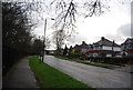
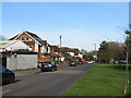
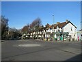
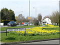
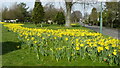
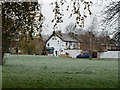
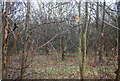
31 photos from this area
Area Information
Key information about the SM6 9NF including its size, population, and administrative classification.
- Area Type
- Postcode
- Area Size
- 7712 m²
- Population
- 1449
- Population Density
- 2852 people/km²
House Prices in SM6 9NF
9
Properties
£598,000
Average Sold Price
£137,000
Lowest Price
£1,225,000
Highest Price
Showing 9 properties
| Address | Type | Beds | Baths | Last Sale Price | Last Sale Date | |
|---|---|---|---|---|---|---|
| 36 The Drive, Wallington, SM6 9NF | house | 5 | 3 | £1,225,000 | Jul 2024 | |
| 42 The Drive, Wallington, SM6 9NF | Detached | 4 | 3 | £955,000 | Dec 2020 | |
| 44 The Drive, Wallington, SM6 9NF | Detached | 3 | 1 | £700,000 | Mar 2019 | |
| 40 The Drive, Wallington, SM6 9NF | house | - | - | £495,000 | Nov 2009 | |
| 46 The Drive, Wallington, SM6 9NF | Detached | - | - | £495,000 | May 2008 | |
| 48 The Drive, Wallington, SM6 9NF | Detached | - | - | £137,000 | Feb 1998 | |
| 50 The Drive, Wallington, SM6 9NF | Detached | 5 | 3 | £179,000 | Nov 1996 | |
| Tennis 42M From 46 The Drive 68M From The Drive, The Drive, Wallington, SM6 9NF | Leisure | - | - | - | - | |
| 38 The Drive, Wallington, SM6 9NF | Detached | - | - | - | - |
Energy Efficiency in SM6 9NF
Amenities
Schools
| Rank | School | Type | Entry gender | Ages |
|---|
Explore more schools in this area
Go to Schools tabDemographics
Household Size
Family (3-5 people)
most common
Accommodation Type
Houses
most common
Tenure
94
majority
Ethnic Group
White
most common
Religion
N/A
most common
Household Composition
N/A
most common
Age
47
median
Adults (30-64 years)
most common
Household Deprivation
N/A
with no deprivation
NS-SEC
49
in Lower managerial occupations
Explore more demographic insights in this area
Go to Demographics tabPlanning
Planning Constraints
- Flood RiskPremium
- Ramsar Wetland SitesPremium
- Area of Outstanding Natural BeautyPremium
- Protected Nature ReservePremium
- Protected WoodlandPremium