Area Overview for SM6 9LD
Photos of SM6 9LD
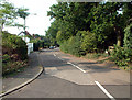
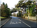
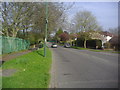
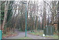
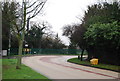
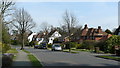
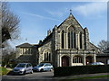
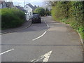
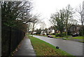
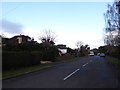
58 photos from this area
Area Information
Key information about the SM6 9LD including its size, population, and administrative classification.
- Area Type
- Postcode
- Area Size
- 1.7 hectares
- Population
- 1609
- Population Density
- 1989 people/km²
House Prices in SM6 9LD
14
Properties
£384,295
Average Sold Price
£129,950
Lowest Price
£630,000
Highest Price
Showing 14 properties
| Address | Type | Beds | Baths | Last Sale Price | Last Sale Date | |
|---|---|---|---|---|---|---|
| 2 Clarice Way, Wallington, SM6 9LD | Detached | 4 | 2 | £630,000 | Feb 2024 | |
| 1 Clarice Way, Wallington, SM6 9LD | house | - | - | £557,000 | Feb 2021 | |
| 14 Clarice Way, Wallington, SM6 9LD | Detached | 4 | 2 | £535,000 | Oct 2019 | |
| 12 Clarice Way, Wallington, SM6 9LD | Detached | 4 | 2 | £467,000 | Nov 2017 | |
| 7 Clarice Way, Wallington, SM6 9LD | Detached | 4 | 2 | £440,000 | Jan 2014 | |
| 11 Clarice Way, Wallington, SM6 9LD | house | - | - | £322,500 | Apr 2009 | |
| 13 Clarice Way, Wallington, SM6 9LD | Detached | - | - | £249,000 | Dec 2003 | |
| 10 Clarice Way, Wallington, SM6 9LD | Detached | 4 | 2 | £285,000 | Jun 2002 | |
| 4 Clarice Way, Wallington, SM6 9LD | Detached | - | - | £227,500 | Jun 2001 | |
| 9 Clarice Way, Wallington, SM6 9LD | Detached | - | - | £129,950 | Aug 1997 |
Page 1 of 2
Energy Efficiency in SM6 9LD
Amenities
Schools
| Rank | School | Type | Entry gender | Ages |
|---|
Explore more schools in this area
Go to Schools tabDemographics
Household Size
Family (3-5 people)
most common
Accommodation Type
Houses
most common
Tenure
88
majority
Ethnic Group
White
most common
Religion
N/A
most common
Household Composition
N/A
most common
Age
47
median
Adults (30-64 years)
most common
Household Deprivation
N/A
with no deprivation
NS-SEC
48
in Lower managerial occupations
Explore more demographic insights in this area
Go to Demographics tabPlanning
Planning Constraints
- Flood RiskPremium
- Ramsar Wetland SitesPremium
- Area of Outstanding Natural BeautyPremium
- Protected Nature ReservePremium
- Protected WoodlandPremium