Area Overview for SM6 9DG
Photos of SM6 9DG
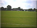
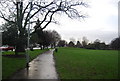
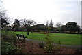
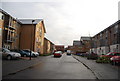
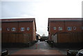
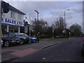
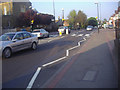
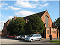
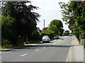
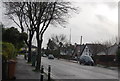
77 photos from this area
Area Information
Key information about the SM6 9DG including its size, population, and administrative classification.
- Area Type
- Postcode
- Area Size
- 1.8 hectares
- Population
- 1565
- Population Density
- 4367 people/km²
House Prices in SM6 9DG
29
Properties
£428,950
Average Sold Price
£97,500
Lowest Price
£785,000
Highest Price
Showing 29 properties
| Address | Type | Beds | Baths | Last Sale Price | Last Sale Date | |
|---|---|---|---|---|---|---|
| 16 Foresters Drive, Wallington, SM6 9DG | Semi-detached | - | - | £565,000 | Apr 2024 | |
| 44 Foresters Drive, Wallington, SM6 9DG | Semi-detached | 3 | 2 | £750,000 | Dec 2022 | |
| 24 Foresters Drive, Wallington, SM6 9DG | house | - | - | £590,000 | Oct 2021 | |
| 2A Foresters Drive, Wallington, SM6 9DG | house | 4 | 2 | £650,000 | Sep 2021 | |
| 8 Foresters Drive, Wallington, SM6 9DG | house | - | - | £592,501 | Nov 2020 | |
| 50 Foresters Drive, Wallington, SM6 9DG | Bungalow | - | - | £785,000 | Feb 2018 | |
| 6A Foresters Drive, Wallington, SM6 9DG | Detached | 3 | 1 | £455,000 | Feb 2015 | |
| 46 Foresters Drive, Wallington, SM6 9DG | Semi-detached | 3 | 1 | £440,000 | Oct 2014 | |
| 54 Foresters Drive, Wallington, SM6 9DG | Semi-detached | 5 | 2 | £430,000 | Mar 2014 | |
| 48 Foresters Drive, Wallington, SM6 9DG | Semi-detached | 3 | 1 | £380,000 | Oct 2013 |
Page 1 of 3
Energy Efficiency in SM6 9DG
Amenities
Schools
| Rank | School | Type | Entry gender | Ages |
|---|
Explore more schools in this area
Go to Schools tabDemographics
Household Size
Family (3-5 people)
most common
Accommodation Type
Houses
most common
Tenure
94
majority
Ethnic Group
White
most common
Religion
N/A
most common
Household Composition
N/A
most common
Age
47
median
Adults (30-64 years)
most common
Household Deprivation
N/A
with no deprivation
NS-SEC
44
in Lower managerial occupations
Explore more demographic insights in this area
Go to Demographics tabPlanning
Planning Constraints
- Flood RiskPremium
- Ramsar Wetland SitesPremium
- Area of Outstanding Natural BeautyPremium
- Protected Nature ReservePremium
- Protected WoodlandPremium