Area Overview for SM3 9EG
Photos of SM3 9EG
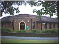

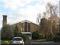
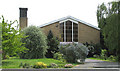
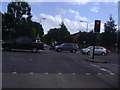
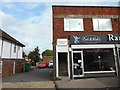
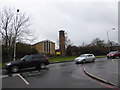
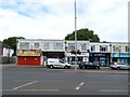
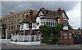
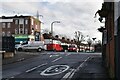
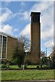
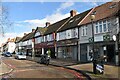
62 photos from this area
Area Information
Key information about the SM3 9EG including its size, population, and administrative classification.
- Area Type
- Postcode
- Area Size
- 9143 m²
- Population
- 1610
- Population Density
- 7352 people/km²
House Prices in SM3 9EG
22
Properties
£375,632
Average Sold Price
£169,000
Lowest Price
£670,000
Highest Price
Showing 22 properties
| Address | Type | Beds | Baths | Last Sale Price | Last Sale Date | |
|---|---|---|---|---|---|---|
| 35 Woodstock Avenue, Sutton, SM3 9EG | Semi-detached | 3 | 1 | £670,000 | Jun 2023 | |
| 23 Woodstock Avenue, Sutton, SM3 9EG | Semi-detached | 3 | - | £565,000 | Jan 2023 | |
| 13 Woodstock Avenue, Sutton, SM3 9EG | house | 6 | - | £317,000 | Oct 2012 | |
| 3 Woodstock Avenue, Sutton, SM3 9EG | house | - | - | £348,000 | Oct 2012 | |
| 19 Woodstock Avenue, Sutton, SM3 9EG | house | - | - | £343,000 | Oct 2011 | |
| 29 Woodstock Avenue, Sutton, SM3 9EG | house | 4 | 3 | £320,000 | Apr 2010 | |
| 9 Woodstock Avenue, Sutton, SM3 9EG | Detached | 3 | 2 | £350,000 | Dec 2009 | |
| 27 Woodstock Avenue, Sutton, SM3 9EG | house | - | - | £470,000 | Sep 2009 | |
| Burghfield, Woodstock Avenue, Sutton, SM3 9EG | Detached | - | - | £330,000 | Jul 2006 | |
| 15 Woodstock Avenue, Sutton, SM3 9EG | Semi-detached | 4 | 2 | £249,950 | Oct 2002 |
Page 1 of 3
Energy Efficiency in SM3 9EG
Amenities
Schools
| Rank | School | Type | Entry gender | Ages |
|---|
Explore more schools in this area
Go to Schools tabDemographics
Household Size
Family (3-5 people)
most common
Accommodation Type
Houses
most common
Tenure
76
majority
Ethnic Group
White
most common
Religion
N/A
most common
Household Composition
N/A
most common
Age
47
median
Adults (30-64 years)
most common
Household Deprivation
N/A
with no deprivation
NS-SEC
33
in Lower managerial occupations
Explore more demographic insights in this area
Go to Demographics tabPlanning
Planning Constraints
- Flood RiskPremium
- Ramsar Wetland SitesPremium
- Area of Outstanding Natural BeautyPremium
- Protected Nature ReservePremium
- Protected WoodlandPremium