Area Overview for SM3 9AZ
Photos of SM3 9AZ

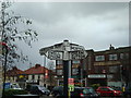
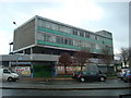
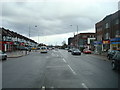
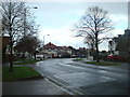

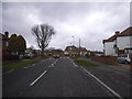

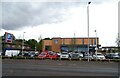
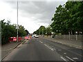
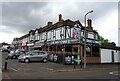
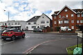
47 photos from this area
Area Information
Key information about the SM3 9AZ including its size, population, and administrative classification.
- Area Type
- Postcode
- Area Size
- 1.6 hectares
- Population
- 1441
- Population Density
- 5633 people/km²
House Prices in SM3 9AZ
54
Properties
£306,294
Average Sold Price
£132,500
Lowest Price
£585,000
Highest Price
Showing 54 properties
| Address | Type | Beds | Baths | Last Sale Price | Last Sale Date | |
|---|---|---|---|---|---|---|
| 34 Marlow Drive, North Cheam, SM3 9AZ | Terraced | 3 | 2 | £585,000 | Feb 2023 | |
| 26 Marlow Drive, North Cheam, SM3 9AZ | house | - | - | £425,000 | Apr 2021 | |
| 100 Marlow Drive, North Cheam, SM3 9AZ | Terraced | 3 | 1 | £455,000 | Mar 2021 | |
| 22 Marlow Drive, North Cheam, SM3 9AZ | Terraced | 3 | - | £450,000 | Feb 2021 | |
| 52 Marlow Drive, North Cheam, SM3 9AZ | Terraced | 3 | 1 | £513,000 | Sep 2020 | |
| 76 Marlow Drive, North Cheam, SM3 9AZ | Terraced | 3 | 1 | £498,000 | Jan 2020 | |
| 54 Marlow Drive, North Cheam, SM3 9AZ | Terraced | 3 | 1 | £498,000 | Nov 2018 | |
| 106 Marlow Drive, North Cheam, SM3 9AZ | Terraced | 3 | 1 | £500,000 | Oct 2017 | |
| 84 Marlow Drive, North Cheam, SM3 9AZ | Terraced | 3 | 1 | £445,000 | Feb 2017 | |
| 48 Marlow Drive, North Cheam, SM3 9AZ | house | - | - | £400,000 | Jun 2016 |
Page 1 of 6
Energy Efficiency in SM3 9AZ
Amenities
Schools
| Rank | School | Type | Entry gender | Ages |
|---|
Explore more schools in this area
Go to Schools tabDemographics
Household Size
Family (3-5 people)
most common
Accommodation Type
Houses
most common
Tenure
90
majority
Ethnic Group
White
most common
Religion
N/A
most common
Household Composition
N/A
most common
Age
47
median
Adults (30-64 years)
most common
Household Deprivation
N/A
with no deprivation
NS-SEC
37
in Lower managerial occupations
Explore more demographic insights in this area
Go to Demographics tabPlanning
Planning Constraints
- Flood RiskPremium
- Ramsar Wetland SitesPremium
- Area of Outstanding Natural BeautyPremium
- Protected Nature ReservePremium
- Protected WoodlandPremium