Area Overview for SM2 7HQ
Photos of SM2 7HQ
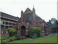
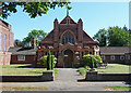
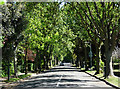
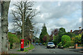
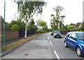
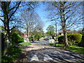
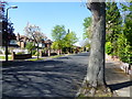
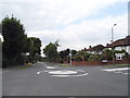
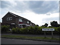
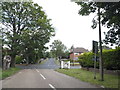
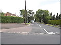
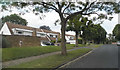
18 photos from this area
Area Information
Key information about the SM2 7HQ including its size, population, and administrative classification.
- Area Type
- Postcode
- Area Size
- 1.7 hectares
- Population
- 1667
- Population Density
- 3179 people/km²
House Prices in SM2 7HQ
23
Properties
£611,476
Average Sold Price
£223,539
Lowest Price
£992,500
Highest Price
Showing 23 properties
| Address | Type | Beds | Baths | Last Sale Price | Last Sale Date | |
|---|---|---|---|---|---|---|
| 127 Northey Avenue, Cheam, SM2 7HQ | Detached | 4 | 1 | £992,500 | Sep 2025 | |
| 99 Northey Avenue, Cheam, SM2 7HQ | Semi-detached | 5 | 2 | £475,000 | Nov 2024 | |
| 91 Northey Avenue, Cheam, SM2 7HQ | Detached | - | - | £845,000 | Jun 2023 | |
| 125 Northey Avenue, Cheam, SM2 7HQ | Retail | 4 | 1 | £910,000 | Sep 2022 | |
| 119 Northey Avenue, Cheam, SM2 7HQ | house | - | - | £690,000 | Apr 2021 | |
| 117 Northey Avenue, Cheam, SM2 7HQ | house | - | - | £383,500 | May 2020 | |
| 123 Northey Avenue, Cheam, SM2 7HQ | house | 3 | 3 | £880,000 | Feb 2019 | |
| 121 Northey Avenue, Cheam, SM2 7HQ | Semi-detached | 4 | 2 | £680,000 | Aug 2017 | |
| 93 Northey Avenue, Cheam, SM2 7HQ | Semi-detached | 3 | 1 | £665,000 | Jul 2017 | |
| 107 Northey Avenue, Cheam, SM2 7HQ | house | - | - | £835,000 | May 2016 |
Page 1 of 3
Energy Efficiency in SM2 7HQ
Amenities
Schools
| Rank | School | Type | Entry gender | Ages |
|---|
Explore more schools in this area
Go to Schools tabDemographics
Household Size
Family (3-5 people)
most common
Accommodation Type
Houses
most common
Tenure
85
majority
Ethnic Group
White
most common
Religion
N/A
most common
Household Composition
N/A
most common
Age
47
median
Adults (30-64 years)
most common
Household Deprivation
N/A
with no deprivation
NS-SEC
53
in Lower managerial occupations
Explore more demographic insights in this area
Go to Demographics tabPlanning
Planning Constraints
- Flood RiskPremium
- Ramsar Wetland SitesPremium
- Area of Outstanding Natural BeautyPremium
- Protected Nature ReservePremium
- Protected WoodlandPremium