Area Overview for SM1 4EP
Photos of SM1 4EP

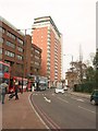
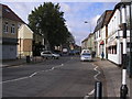
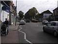
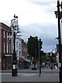
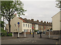
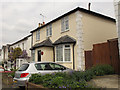

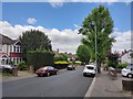

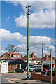
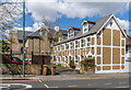
54 photos from this area
Area Information
Key information about the SM1 4EP including its size, population, and administrative classification.
- Area Type
- Postcode
- Area Size
- 5596 m²
- Population
- 1825
- Population Density
- 15145 people/km²
House Prices in SM1 4EP
20
Properties
£220,000
Average Sold Price
£94,000
Lowest Price
£305,000
Highest Price
Showing 20 properties
| Address | Type | Beds | Baths | Last Sale Price | Last Sale Date | |
|---|---|---|---|---|---|---|
| 7 Milford Grove, Sutton, SM1 4EP | Flat | - | - | £302,000 | Oct 2023 | |
| 18 Milford Grove, Sutton, SM1 4EP | Maisonette | 2 | 1 | £305,000 | Jul 2016 | |
| 20 Milford Grove, Sutton, SM1 4EP | Maisonette | - | - | £300,000 | May 2016 | |
| 4 Milford Grove, Sutton, SM1 4EP | Flat | - | - | £240,000 | Nov 2015 | |
| 15 Milford Grove, Sutton, SM1 4EP | Terraced | 3 | 1 | £300,000 | Apr 2014 | |
| 6 Milford Grove, Sutton, SM1 4EP | Flat | - | - | £178,000 | Feb 2013 | |
| 13 Milford Grove, Sutton, SM1 4EP | house | 2 | - | £195,000 | Jan 2011 | |
| 3 Milford Grove, Sutton, SM1 4EP | Flat | - | - | £160,000 | Oct 2006 | |
| 8 Milford Grove, Sutton, SM1 4EP | Flat | - | - | £126,000 | May 2003 | |
| 9 Milford Grove, Sutton, SM1 4EP | Flat | - | - | £94,000 | Dec 2001 |
Page 1 of 2
Energy Efficiency in SM1 4EP
Amenities
Schools
| Rank | School | Type | Entry gender | Ages |
|---|
Explore more schools in this area
Go to Schools tabDemographics
Household Size
Family (3-5 people)
most common
Accommodation Type
Flats
most common
Tenure
50
majority
Ethnic Group
White
most common
Religion
N/A
most common
Household Composition
N/A
most common
Age
47
median
Adults (30-64 years)
most common
Household Deprivation
N/A
with no deprivation
NS-SEC
30
in Lower managerial occupations
Explore more demographic insights in this area
Go to Demographics tabPlanning
Planning Constraints
- Flood RiskPremium
- Ramsar Wetland SitesPremium
- Area of Outstanding Natural BeautyPremium
- Protected Nature ReservePremium
- Protected WoodlandPremium