Area Overview for SM1 3QL
Photos of SM1 3QL
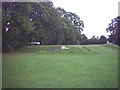
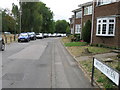
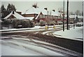
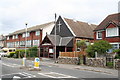
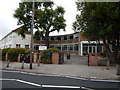
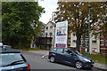
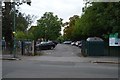
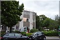
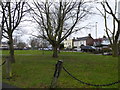
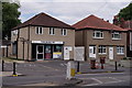
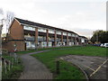
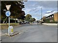
61 photos from this area
Area Information
Key information about the SM1 3QL including its size, population, and administrative classification.
- Area Type
- Postcode
- Area Size
- 1.2 hectares
- Population
- 1409
- Population Density
- 6290 people/km²
House Prices in SM1 3QL
27
Properties
£343,400
Average Sold Price
£113,000
Lowest Price
£579,950
Highest Price
Showing 27 properties
| Address | Type | Beds | Baths | Last Sale Price | Last Sale Date | |
|---|---|---|---|---|---|---|
| 49 Brookfield Avenue, Sutton, SM1 3QL | Semi-detached | 3 | 1 | £470,000 | Apr 2024 | |
| 53 Brookfield Avenue, Sutton, SM1 3QL | Semi-detached | 3 | 1 | £530,000 | Jan 2022 | |
| 16 Brookfield Avenue, Sutton, SM1 3QL | house | - | - | £570,000 | May 2021 | |
| 18 Brookfield Avenue, Sutton, SM1 3QL | Semi-detached | 3 | 1 | £449,950 | Nov 2019 | |
| 51 Brookfield Avenue, Sutton, SM1 3QL | Semi-detached | 3 | 1 | £450,000 | Nov 2018 | |
| 55 Brookfield Avenue, Sutton, SM1 3QL | Semi-detached | 3 | 1 | £475,000 | May 2018 | |
| 69 Brookfield Avenue, Sutton, SM1 3QL | Detached | 4 | 2 | £579,950 | Dec 2015 | |
| 12 Brookfield Avenue, Sutton, SM1 3QL | house | 3 | - | £281,000 | Feb 2012 | |
| 14 Brookfield Avenue, Sutton, SM1 3QL | house | - | - | £305,000 | Jun 2010 | |
| 28 Brookfield Avenue, Sutton, SM1 3QL | house | - | - | £265,000 | Mar 2010 |
Page 1 of 3
Energy Efficiency in SM1 3QL
Amenities
Schools
| Rank | School | Type | Entry gender | Ages |
|---|
Explore more schools in this area
Go to Schools tabDemographics
Household Size
Family (3-5 people)
most common
Accommodation Type
Houses
most common
Tenure
87
majority
Ethnic Group
White
most common
Religion
N/A
most common
Household Composition
N/A
most common
Age
47
median
Adults (30-64 years)
most common
Household Deprivation
N/A
with no deprivation
NS-SEC
45
in Lower managerial occupations
Explore more demographic insights in this area
Go to Demographics tabPlanning
Planning Constraints
- Flood RiskPremium
- Ramsar Wetland SitesPremium
- Area of Outstanding Natural BeautyPremium
- Protected Nature ReservePremium
- Protected WoodlandPremium