Area Overview for SM1 3JL
Photos of SM1 3JL
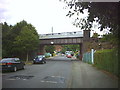
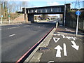
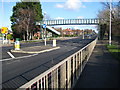
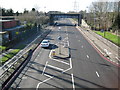
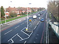
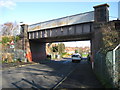
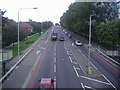
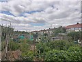
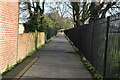
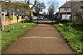
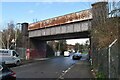
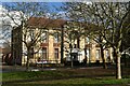
50 photos from this area
Area Information
Key information about the SM1 3JL including its size, population, and administrative classification.
- Area Type
- Postcode
- Area Size
- 1.1 hectares
- Population
- 2279
- Population Density
- 5600 people/km²
House Prices in SM1 3JL
19
Properties
£244,405
Average Sold Price
£67,500
Lowest Price
£475,000
Highest Price
Showing 19 properties
| Address | Type | Beds | Baths | Last Sale Price | Last Sale Date | |
|---|---|---|---|---|---|---|
| 56 Reigate Avenue, Sutton, SM1 3JL | house | 2 | 1 | £450,000 | Apr 2025 | |
| 38 Reigate Avenue, Sutton, SM1 3JL | Terraced | 3 | 1 | £475,000 | Nov 2023 | |
| 44A Reigate Avenue, Sutton, SM1 3JL | house | - | - | £368,000 | Mar 2021 | |
| 40 Reigate Avenue, Sutton, SM1 3JL | house | - | - | £225,000 | May 2014 | |
| 30 Reigate Avenue, Sutton, SM1 3JL | Terraced | 3 | - | £210,000 | Mar 2012 | |
| 46 Reigate Avenue, Sutton, SM1 3JL | Semi-detached | 3 | 1 | £215,000 | May 2010 | |
| 26 Reigate Avenue, Sutton, SM1 3JL | Flat | 2 | 2 | £249,950 | Oct 2007 | |
| 52 Reigate Avenue, Sutton, SM1 3JL | Terraced | - | - | £175,000 | Jul 2005 | |
| 32 Reigate Avenue, Sutton, SM1 3JL | Terraced | - | - | £170,000 | Jan 2004 | |
| 48 Reigate Avenue, Sutton, SM1 3JL | Semi-detached | - | - | £83,000 | Mar 1998 |
Page 1 of 2
Energy Efficiency in SM1 3JL
Amenities
Schools
| Rank | School | Type | Entry gender | Ages |
|---|
Explore more schools in this area
Go to Schools tabDemographics
Household Size
Family (3-5 people)
most common
Accommodation Type
Houses
most common
Tenure
43
majority
Ethnic Group
White
most common
Religion
N/A
most common
Household Composition
N/A
most common
Age
47
median
Adults (30-64 years)
most common
Household Deprivation
N/A
with no deprivation
NS-SEC
26
in Lower managerial occupations
Explore more demographic insights in this area
Go to Demographics tabPlanning
Planning Constraints
- Flood RiskPremium
- Ramsar Wetland SitesPremium
- Area of Outstanding Natural BeautyPremium
- Protected Nature ReservePremium
- Protected WoodlandPremium