Area Overview for SM1 2LD
Photos of SM1 2LD
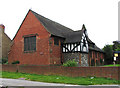
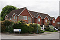
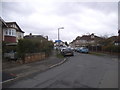
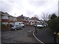
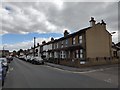
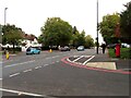
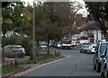
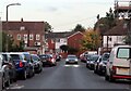
34 photos from this area
Area Information
Key information about the SM1 2LD including its size, population, and administrative classification.
- Area Type
- Postcode
- Area Size
- 3829 m²
- Population
- 1650
- Population Density
- 4837 people/km²
House Prices in SM1 2LD
17
Properties
£258,542
Average Sold Price
£99,000
Lowest Price
£350,000
Highest Price
Showing 17 properties
| Address | Type | Beds | Baths | Last Sale Price | Last Sale Date | |
|---|---|---|---|---|---|---|
| 4 Silverdale Close, Cheam, SM1 2LD | Maisonette | 2 | 1 | £350,000 | Jun 2023 | |
| 7 Silverdale Close, Cheam, SM1 2LD | Maisonette | 2 | 1 | £340,000 | Jun 2022 | |
| 11 Silverdale Close, Cheam, SM1 2LD | Flat | 2 | 1 | £288,000 | May 2020 | |
| 9 Silverdale Close, Cheam, SM1 2LD | Flat | - | - | £307,500 | Jan 2020 | |
| 8 Silverdale Close, Cheam, SM1 2LD | Maisonette | 2 | 1 | £290,000 | May 2019 | |
| 13 Silverdale Close, Cheam, SM1 2LD | Flat | - | - | £330,000 | Jul 2018 | |
| 2 Silverdale Close, Cheam, SM1 2LD | Maisonette | 2 | 1 | £305,000 | Oct 2017 | |
| 5 Silverdale Close, Cheam, SM1 2LD | Maisonette | 2 | - | £220,000 | Nov 2013 | |
| 3 Silverdale Close, Cheam, SM1 2LD | Flat | - | - | £212,000 | Dec 2011 | |
| 14 Silverdale Close, Cheam, SM1 2LD | Maisonette | 2 | 1 | £195,000 | May 2011 |
Page 1 of 2
Energy Efficiency in SM1 2LD
Amenities
Schools
| Rank | School | Type | Entry gender | Ages |
|---|
Explore more schools in this area
Go to Schools tabDemographics
Household Size
Family (3-5 people)
most common
Accommodation Type
Houses
most common
Tenure
81
majority
Ethnic Group
White
most common
Religion
N/A
most common
Household Composition
N/A
most common
Age
47
median
Adults (30-64 years)
most common
Household Deprivation
N/A
with no deprivation
NS-SEC
34
in Lower managerial occupations
Explore more demographic insights in this area
Go to Demographics tabPlanning
Planning Constraints
- Flood RiskPremium
- Ramsar Wetland SitesPremium
- Area of Outstanding Natural BeautyPremium
- Protected Nature ReservePremium
- Protected WoodlandPremium