Area Overview for SM1 2HD
Photos of SM1 2HD
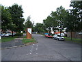
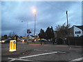
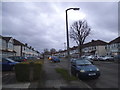
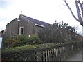
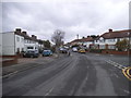
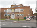
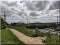
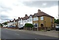
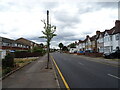
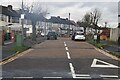
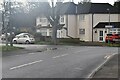
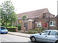
38 photos from this area
Area Information
Key information about the SM1 2HD including its size, population, and administrative classification.
- Area Type
- Postcode
- Area Size
- 9842 m²
- Population
- 1650
- Population Density
- 4837 people/km²
House Prices in SM1 2HD
28
Properties
£328,953
Average Sold Price
£64,250
Lowest Price
£600,000
Highest Price
Showing 28 properties
| Address | Type | Beds | Baths | Last Sale Price | Last Sale Date | |
|---|---|---|---|---|---|---|
| 255 Gander Green Lane, Sutton, SM1 2HD | Terraced | 3 | 1 | £490,000 | Jul 2025 | |
| 281 Gander Green Lane, Sutton, SM1 2HD | house | - | - | £600,000 | Mar 2021 | |
| 285 Gander Green Lane, Sutton, SM1 2HD | Terraced | 3 | 1 | £400,000 | May 2020 | |
| 249 Gander Green Lane, Sutton, SM1 2HD | Semi-detached | 3 | 1 | £490,000 | Mar 2018 | |
| 243 Gander Green Lane, Sutton, SM1 2HD | Semi-detached | 4 | - | £500,000 | Aug 2017 | |
| 287 Gander Green Lane, Sutton, SM1 2HD | Detached | 2 | 1 | £325,000 | May 2015 | |
| 261 Gander Green Lane, Sutton, SM1 2HD | house | - | - | £335,000 | Feb 2015 | |
| 259 Gander Green Lane, Sutton, SM1 2HD | Terraced | 3 | 1 | £330,000 | Oct 2014 | |
| 293 Gander Green Lane, Sutton, SM1 2HD | Terraced | 1 | 2 | £280,000 | Jan 2014 | |
| 279 Gander Green Lane, Sutton, SM1 2HD | Semi-detached | 3 | 1 | £282,000 | Nov 2013 |
Page 1 of 3
Energy Efficiency in SM1 2HD
Amenities
Schools
| Rank | School | Type | Entry gender | Ages |
|---|
Explore more schools in this area
Go to Schools tabDemographics
Household Size
Family (3-5 people)
most common
Accommodation Type
Houses
most common
Tenure
81
majority
Ethnic Group
White
most common
Religion
N/A
most common
Household Composition
N/A
most common
Age
47
median
Adults (30-64 years)
most common
Household Deprivation
N/A
with no deprivation
NS-SEC
34
in Lower managerial occupations
Explore more demographic insights in this area
Go to Demographics tabPlanning
Planning Constraints
- Flood RiskPremium
- Ramsar Wetland SitesPremium
- Area of Outstanding Natural BeautyPremium
- Protected Nature ReservePremium
- Protected WoodlandPremium