Area Overview for SM1 2EG
Photos of SM1 2EG
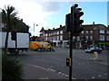
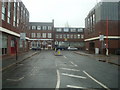
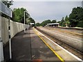
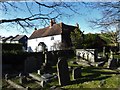
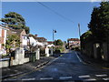
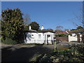
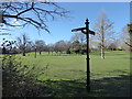
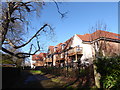
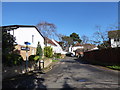
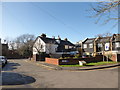
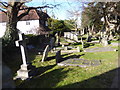
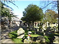
91 photos from this area
Area Information
Key information about the SM1 2EG including its size, population, and administrative classification.
- Area Type
- Postcode
- Area Size
- 1.2 hectares
- Population
- 1650
- Population Density
- 7307 people/km²
House Prices in SM1 2EG
22
Properties
£430,824
Average Sold Price
£184,000
Lowest Price
£710,000
Highest Price
Showing 22 properties
| Address | Type | Beds | Baths | Last Sale Price | Last Sale Date | |
|---|---|---|---|---|---|---|
| 23 Gander Green Lane, Sutton, SM1 2EG | Detached | 4 | 1 | £625,000 | Oct 2025 | |
| 29 Gander Green Lane, Sutton, SM1 2EG | Semi-detached | 2 | 1 | £565,000 | Aug 2025 | |
| 33 Gander Green Lane, Sutton, SM1 2EG | Semi-detached | 4 | 2 | £710,000 | Aug 2025 | |
| 27 Gander Green Lane, Sutton, SM1 2EG | Semi-detached | 3 | 2 | £600,000 | Jun 2025 | |
| 31 Gander Green Lane, Sutton, SM1 2EG | Semi-detached | 3 | 1 | £600,000 | Aug 2024 | |
| 25 Gander Green Lane, Sutton, SM1 2EG | Semi-detached | 4 | 1 | £485,000 | Feb 2018 | |
| 17 Gander Green Lane, Sutton, SM1 2EG | Detached | 4 | - | £675,000 | Nov 2015 | |
| 7 Gander Green Lane, Sutton, SM1 2EG | Detached | 4 | 2 | £570,000 | Oct 2015 | |
| 41 Gander Green Lane, Sutton, SM1 2EG | Semi-detached | 3 | 1 | £270,000 | Aug 2012 | |
| 3 Gander Green Lane, Sutton, SM1 2EG | Detached | - | - | £325,000 | Dec 2009 |
Page 1 of 3
Energy Efficiency in SM1 2EG
Amenities
Schools
| Rank | School | Type | Entry gender | Ages |
|---|
Explore more schools in this area
Go to Schools tabDemographics
Household Size
Family (3-5 people)
most common
Accommodation Type
Houses
most common
Tenure
63
majority
Ethnic Group
White
most common
Religion
N/A
most common
Household Composition
N/A
most common
Age
47
median
Adults (30-64 years)
most common
Household Deprivation
N/A
with no deprivation
NS-SEC
43
in Lower managerial occupations
Explore more demographic insights in this area
Go to Demographics tabPlanning
Planning Constraints
- Flood RiskPremium
- Ramsar Wetland SitesPremium
- Area of Outstanding Natural BeautyPremium
- Protected Nature ReservePremium
- Protected WoodlandPremium