Area Overview for Shortlands & Park Langley Ward
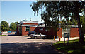
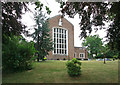
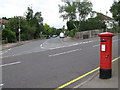
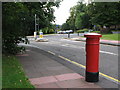
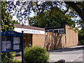
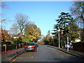
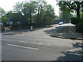
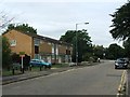
Photos of Shortlands & Park Langley Ward
Area Information
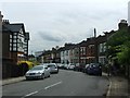
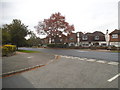
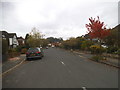
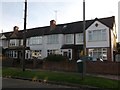
Living in Shortlands & Park Langley Ward offers a distinctly suburban experience within south-east London. This electoral ward spans just 4.6 km², yet it accommodates a population of 3403 residents. The density here stands at 747 people per square kilometre, creating a neighbourhood that feels established rather than crowded. Located in the London Borough of Bromley, the area encompasses the historic suburb of Shortlands and the residential development of Park Langley. Park Langley originated on the former Langley Park Estate, with development beginning between 1909 and 1913 under garden city principles. You can find individual houses situated in generous landscapes, a layout that dates back to that early 20th-century planning. Shortlands itself formed an ecclesiastical parish as far back as 1870, contributing to the ward's deep historical roots. The area includes gated communities like Langley Park and Langley Waterside, as well as small rows of shops located on the edges. A train station on the South Eastern main line serves Shortlands, providing direct rail access. Regular bus services connect the ward to Bromley and Penge. Knowing you live in this established ward means accessing a mix of preserved heritage sites, such as Shortlands House, and modern residential conveniences.
- Area Type
- District Borough Unitary Ward
- Area Size
- 4.6 km²
- Population
- 3403
- Population Density
- 747 people/km²
Demographics
The community in Shortlands & Park Langley Ward presents a clear demographic profile. The median age for residents is 70 years, indicating an area populated predominantly by older adults. Every resident falls into the total age category according to available records, a detail derived from the specific demographics data provided. Home ownership is remarkably high, with 74% of residents owning their homes. This statistic highlights a community where financial stability and long-term residency are common. The ward does not distinguish between different household compositions in its reported data, leaving the specific makeup of families or single-person households undefined. Similarly, data regarding predominant ethnic groups and religious affiliations is not detailed in the provided information. While you cannot gauge diversity from the current figures, the high ownership rate suggests residents have typically settled permanently rather than renting transiently. Understanding that three-quarters of households own their property helps you assess the stability of the local environment. This lack of rental dependency often correlates with stronger community ties. When you consider buying homes in this ward, you enter a market defined by long-term ownership. The age profile suggests a quieter neighbourhood, possibly less suited for young children but ideal for retirees.
Household Size
Accommodation Type
Tenure
Ethnic Group
Religion
Household Composition
Age
Household Deprivation
NS-SEC
Explore more demographic insights in this area
Go to Demographics tabPlanning
Planning Constraints
- Flood RiskPremium
- Ramsar Wetland SitesPremium
- Area of Outstanding Natural BeautyPremium
- Protected Nature ReservePremium
- Protected WoodlandPremium