Area Overview for SE9 5LY
Photos of SE9 5LY
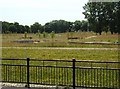
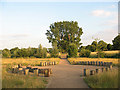
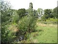
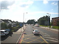
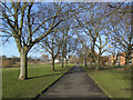
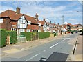
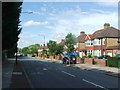
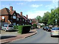
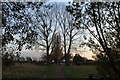
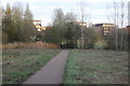
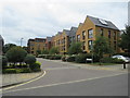
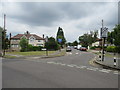
100 photos from this area
Area Information
Key information about the SE9 5LY including its size, population, and administrative classification.
- Area Type
- Postcode
- Area Size
- 8060 m²
- Population
- 1664
- Population Density
- 3657 people/km²
House Prices in SE9 5LY
27
Properties
£271,269
Average Sold Price
£153,000
Lowest Price
£435,000
Highest Price
Showing 27 properties
| Address | Type | Beds | Baths | Last Sale Price | Last Sale Date | |
|---|---|---|---|---|---|---|
| 150 Eltham Palace Road, Eltham, SE9 5LY | Terraced | 3 | 1 | £410,000 | Oct 2025 | |
| 128 Eltham Palace Road, Eltham, SE9 5LY | Terraced | 2 | 1 | £414,000 | Jul 2025 | |
| 154 Eltham Palace Road, Eltham, SE9 5LY | Semi-detached | 3 | 1 | £435,000 | Sep 2021 | |
| 120 Eltham Palace Road, Eltham, SE9 5LY | house | - | - | £345,000 | Dec 2020 | |
| 104 Eltham Palace Road, Eltham, SE9 5LY | Terraced | 3 | 1 | £401,000 | Apr 2019 | |
| 132 Eltham Palace Road, Eltham, SE9 5LY | Semi-detached | 3 | 1 | £277,000 | Oct 2014 | |
| 112 Eltham Palace Road, Eltham, SE9 5LY | house | - | - | £195,000 | Jan 2011 | |
| 106 Eltham Palace Road, Eltham, SE9 5LY | Semi-detached | - | - | £190,000 | Apr 2007 | |
| 148 Eltham Palace Road, Eltham, SE9 5LY | Terraced | - | - | £168,000 | Apr 2006 | |
| 144 Eltham Palace Road, Eltham, SE9 5LY | Semi-detached | - | - | £197,500 | Mar 2005 |
Page 1 of 3
Energy Efficiency in SE9 5LY
Amenities
Schools
| Rank | School | Type | Entry gender | Ages |
|---|
Explore more schools in this area
Go to Schools tabDemographics
Household Size
Family (3-5 people)
most common
Accommodation Type
Houses
most common
Tenure
54
majority
Ethnic Group
White
most common
Religion
N/A
most common
Household Composition
N/A
most common
Age
47
median
Adults (30-64 years)
most common
Household Deprivation
N/A
with no deprivation
NS-SEC
27
in Lower managerial occupations
Explore more demographic insights in this area
Go to Demographics tabPlanning
Planning Constraints
- Flood RiskPremium
- Ramsar Wetland SitesPremium
- Area of Outstanding Natural BeautyPremium
- Protected Nature ReservePremium
- Protected WoodlandPremium