Area Overview for SE9 4JE
Photos of SE9 4JE
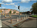
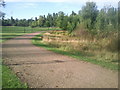
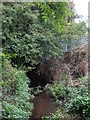
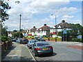
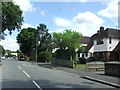
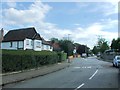
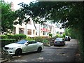
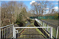
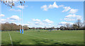
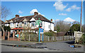
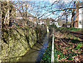
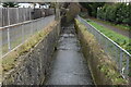
81 photos from this area
Area Information
Key information about the SE9 4JE including its size, population, and administrative classification.
- Area Type
- Postcode
- Area Size
- 2.7 hectares
- Population
- 1545
- Population Density
- 5450 people/km²
House Prices in SE9 4JE
44
Properties
£262,647
Average Sold Price
£157,000
Lowest Price
£420,000
Highest Price
Showing 44 properties
| Address | Type | Beds | Baths | Last Sale Price | Last Sale Date | |
|---|---|---|---|---|---|---|
| 37 Grace Close, Grove Park, London, SE9 4JE | house | - | - | £320,000 | Apr 2025 | |
| 32 Grace Close, Grove Park, London, SE9 4JE | Terraced | 2 | 1 | £395,000 | Feb 2024 | |
| 39 Grace Close, Grove Park, London, SE9 4JE | Terraced | 3 | 1 | £420,000 | Dec 2023 | |
| 44 Grace Close, Grove Park, London, SE9 4JE | house | 2 | - | £315,000 | Dec 2020 | |
| 7 Grace Close, Grove Park, London, SE9 4JE | house | - | - | £202,500 | Dec 2020 | |
| 26 Grace Close, Grove Park, London, SE9 4JE | Terraced | 4 | 2 | £395,000 | Mar 2019 | |
| 31 Grace Close, Grove Park, London, SE9 4JE | house | - | - | £300,000 | Jun 2018 | |
| 38 Grace Close, Grove Park, London, SE9 4JE | house | 3 | 1 | £348,000 | Dec 2016 | |
| 3 Grace Close, Grove Park, London, SE9 4JE | Terraced | 2 | - | £330,000 | May 2016 | |
| 2 Grace Close, Grove Park, London, SE9 4JE | Terraced | 2 | 2 | £191,000 | May 2013 |
Page 1 of 5
Energy Efficiency in SE9 4JE
Amenities
Schools
| Rank | School | Type | Entry gender | Ages |
|---|
Explore more schools in this area
Go to Schools tabDemographics
Household Size
Family (3-5 people)
most common
Accommodation Type
Houses
most common
Tenure
37
majority
Ethnic Group
White
most common
Religion
N/A
most common
Household Composition
N/A
most common
Age
47
median
Adults (30-64 years)
most common
Household Deprivation
N/A
with no deprivation
NS-SEC
23
in Lower managerial occupations
Explore more demographic insights in this area
Go to Demographics tabPlanning
Planning Constraints
- Flood RiskPremium
- Ramsar Wetland SitesPremium
- Area of Outstanding Natural BeautyPremium
- Protected Nature ReservePremium
- Protected WoodlandPremium