Area Overview for SE9 4HA
Photos of SE9 4HA
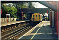
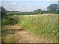

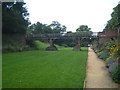
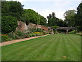
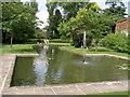
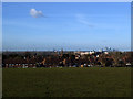
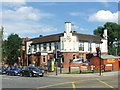
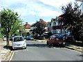


100 photos from this area
Area Information
Key information about the SE9 4HA including its size, population, and administrative classification.
- Area Type
- Postcode
- Area Size
- 2.0 hectares
- Population
- 1556
- Population Density
- 4800 people/km²
House Prices in SE9 4HA
30
Properties
£292,220
Average Sold Price
£87,000
Lowest Price
£570,000
Highest Price
Showing 30 properties
| Address | Type | Beds | Baths | Last Sale Price | Last Sale Date | |
|---|---|---|---|---|---|---|
| 494 Sidcup Road, Eltham, SE9 4HA | Semi-detached | 3 | 1 | £570,000 | Apr 2023 | |
| 506 Sidcup Road, Eltham, SE9 4HA | house | - | - | £570,000 | Sep 2021 | |
| 492 Sidcup Road, Eltham, SE9 4HA | Semi-detached | 4 | - | £540,000 | Jul 2020 | |
| 506A Sidcup Road, Eltham, SE9 4HA | Detached | 4 | 2 | £500,000 | Dec 2019 | |
| 478 Sidcup Road, Eltham, SE9 4HA | Semi-detached | 3 | 1 | £300,000 | Dec 2013 | |
| 472 Sidcup Road, Eltham, SE9 4HA | Semi-detached | 3 | 1 | £305,000 | Nov 2013 | |
| 508 Sidcup Road, Eltham, SE9 4HA | Semi-detached | - | - | £327,000 | Nov 2012 | |
| 482 Sidcup Road, Eltham, SE9 4HA | house | 3 | - | £250,000 | Nov 2011 | |
| 490 Sidcup Road, Eltham, SE9 4HA | Semi-detached | - | - | £265,000 | Jun 2009 | |
| 468 Sidcup Road, Eltham, SE9 4HA | Semi-detached | - | - | £310,000 | May 2007 |
Page 1 of 3
Energy Efficiency in SE9 4HA
Amenities
Schools
| Rank | School | Type | Entry gender | Ages |
|---|
Explore more schools in this area
Go to Schools tabDemographics
Household Size
Family (3-5 people)
most common
Accommodation Type
Houses
most common
Tenure
68
majority
Ethnic Group
White
most common
Religion
N/A
most common
Household Composition
N/A
most common
Age
47
median
Adults (30-64 years)
most common
Household Deprivation
N/A
with no deprivation
NS-SEC
40
in Lower managerial occupations
Explore more demographic insights in this area
Go to Demographics tabPlanning
Planning Constraints
- Flood RiskPremium
- Ramsar Wetland SitesPremium
- Area of Outstanding Natural BeautyPremium
- Protected Nature ReservePremium
- Protected WoodlandPremium