Area Overview for SE9 4AP
Photos of SE9 4AP
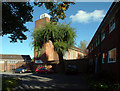
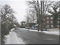
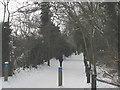
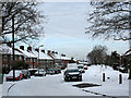
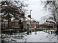
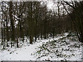
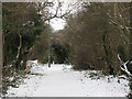
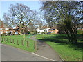


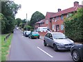
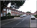
48 photos from this area
Area Information
Key information about the SE9 4AP including its size, population, and administrative classification.
- Area Type
- Postcode
- Area Size
- 6579 m²
- Population
- Not available
- Population Density
- Not available
House Prices in SE9 4AP
34
Properties
£272,788
Average Sold Price
£66,250
Lowest Price
£445,000
Highest Price
Showing 34 properties
| Address | Type | Beds | Baths | Last Sale Price | Last Sale Date | |
|---|---|---|---|---|---|---|
| 70 Castlecombe Road, Mottingham, London, SE9 4AP | Terraced | 2 | 1 | £445,000 | Jun 2024 | |
| 78 Castlecombe Road, Mottingham, London, SE9 4AP | Terraced | 2 | - | £370,000 | Feb 2023 | |
| 96 Castlecombe Road, Mottingham, London, SE9 4AP | Terraced | 2 | 1 | £330,000 | Nov 2021 | |
| 98 Castlecombe Road, Mottingham, London, SE9 4AP | Flat | - | - | £247,500 | Jun 2021 | |
| 74 Castlecombe Road, Mottingham, London, SE9 4AP | Terraced | 2 | - | £328,000 | Apr 2021 | |
| 118 Castlecombe Road, Mottingham, London, SE9 4AP | Terraced | 2 | - | £330,000 | Jan 2021 | |
| 114 Castlecombe Road, Mottingham, London, SE9 4AP | house | - | - | £295,000 | Dec 2016 | |
| 82 Castlecombe Road, Mottingham, London, SE9 4AP | Terraced | 2 | 2 | £287,500 | Oct 2016 | |
| 132 Castlecombe Road, Mottingham, London, SE9 4AP | Terraced | 3 | 1 | £380,000 | Dec 2015 | |
| 128 Castlecombe Road, Mottingham, London, SE9 4AP | Terraced | 3 | 2 | £161,000 | Sep 2009 |
Page 1 of 4
Energy Efficiency in SE9 4AP
Amenities
Schools
| Rank | School | Type | Entry gender | Ages |
|---|
Explore more schools in this area
Go to Schools tabDemographics
Household Size
Family (3-5 people)
most common
Accommodation Type
Houses
most common
Tenure
47
majority
Ethnic Group
White
most common
Religion
N/A
most common
Household Composition
N/A
most common
Age
47
median
Adults (30-64 years)
most common
Household Deprivation
N/A
with no deprivation
NS-SEC
28
in Lower managerial occupations
Explore more demographic insights in this area
Go to Demographics tabPlanning
Planning Constraints
- Flood RiskPremium
- Ramsar Wetland SitesPremium
- Area of Outstanding Natural BeautyPremium
- Protected Nature ReservePremium
- Protected WoodlandPremium