Area Overview for SE9 3UL
Photos of SE9 3UL
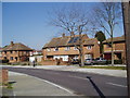
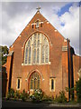
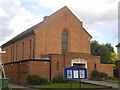
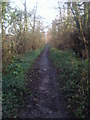
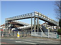
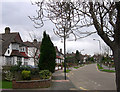
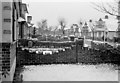
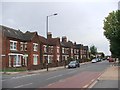
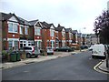
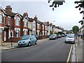
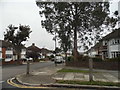
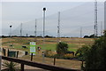
56 photos from this area
Area Information
Key information about the SE9 3UL including its size, population, and administrative classification.
- Area Type
- Postcode
- Area Size
- 2.9 hectares
- Population
- 1964
- Population Density
- 6092 people/km²
House Prices in SE9 3UL
79
Properties
£446,909
Average Sold Price
£162,000
Lowest Price
£1,050,000
Highest Price
Showing 79 properties
| Address | Type | Beds | Baths | Last Sale Price | Last Sale Date | |
|---|---|---|---|---|---|---|
| 425 FOOTSCRAY ROAD, Eltham, SE9 3UL | Detached | - | - | £1,050,000 | May 2022 | |
| 409A Footscray Road, Eltham, SE9 3UL | Terraced | 1 | 1 | £450,000 | Jan 2022 | |
| 427 FOOTSCRAY ROAD, Eltham, SE9 3UL | Flat | 1 | 1 | £1,050,000 | Sep 2021 | |
| 407A Footscray Road, Eltham, SE9 3UL | Maisonette | 3 | - | £275,000 | Apr 2020 | |
| 457 Footscray Road, Eltham, SE9 3UL | Semi-detached | 4 | - | £507,000 | Aug 2018 | |
| 455 Footscray Road, Eltham, SE9 3UL | house | 3 | 2 | £430,000 | Jan 2015 | |
| 443 Footscray Road, Eltham, SE9 3UL | house | - | - | £270,000 | Oct 2010 | |
| 451 Footscray Road, Eltham, SE9 3UL | Semi-detached | - | - | £250,000 | Jul 2008 | |
| 459 Footscray Road, Eltham, SE9 3UL | Semi-detached | - | - | £245,000 | Oct 2003 | |
| 447 Footscray Road, Eltham, SE9 3UL | house | - | - | £227,000 | Apr 2003 |
Page 1 of 8
Energy Efficiency in SE9 3UL
Amenities
Schools
| Rank | School | Type | Entry gender | Ages |
|---|
Explore more schools in this area
Go to Schools tabDemographics
Household Size
Two person
most common
Accommodation Type
Houses
most common
Tenure
63
majority
Ethnic Group
White
most common
Religion
N/A
most common
Household Composition
N/A
most common
Age
47
median
Adults (30-64 years)
most common
Household Deprivation
N/A
with no deprivation
NS-SEC
42
in Lower managerial occupations
Explore more demographic insights in this area
Go to Demographics tabPlanning
Planning Constraints
- Flood RiskPremium
- Ramsar Wetland SitesPremium
- Area of Outstanding Natural BeautyPremium
- Protected Nature ReservePremium
- Protected WoodlandPremium