Area Overview for SE9 3DP
Photos of SE9 3DP
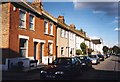
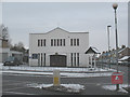
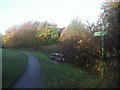
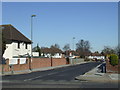
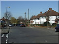
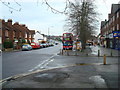
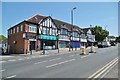
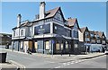
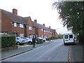
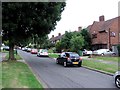
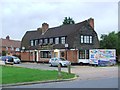
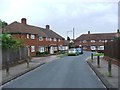
54 photos from this area
Area Information
Key information about the SE9 3DP including its size, population, and administrative classification.
- Area Type
- Postcode
- Area Size
- 5165 m²
- Population
- 1756
- Population Density
- 8346 people/km²
House Prices in SE9 3DP
24
Properties
£203,250
Average Sold Price
£145,500
Lowest Price
£305,000
Highest Price
Showing 24 properties
| Address | Type | Beds | Baths | Last Sale Price | Last Sale Date | |
|---|---|---|---|---|---|---|
| 35 Swithland Gardens, Eltham, SE9 3DP | Maisonette | 2 | 1 | £268,000 | Jun 2024 | |
| 45 Swithland Gardens, Eltham, SE9 3DP | Maisonette | - | - | £305,000 | Oct 2020 | |
| 3 Swithland Gardens, Eltham, SE9 3DP | Maisonette | - | - | £167,000 | Mar 2012 | |
| 23 Swithland Gardens, Eltham, SE9 3DP | house | - | - | £159,000 | Nov 2010 | |
| 31 Swithland Gardens, Eltham, SE9 3DP | Semi-detached | - | - | £175,000 | Apr 2009 | |
| 13 Swithland Gardens, Eltham, SE9 3DP | Maisonette | 2 | 1 | £145,500 | Aug 2005 | |
| 9 Swithland Gardens, Eltham, SE9 3DP | Flat | - | - | - | - | |
| 33 Swithland Gardens, Eltham, SE9 3DP | Maisonette | - | - | - | - | |
| 19 Swithland Gardens, Eltham, SE9 3DP | house | - | - | - | - | |
| 43 Swithland Gardens, Eltham, SE9 3DP | Flat | - | - | - | - |
Page 1 of 3
Energy Efficiency in SE9 3DP
Amenities
Schools
| Rank | School | Type | Entry gender | Ages |
|---|
Explore more schools in this area
Go to Schools tabDemographics
Household Size
One person
most common
Accommodation Type
Flats
most common
Tenure
37
majority
Ethnic Group
White
most common
Religion
N/A
most common
Household Composition
N/A
most common
Age
47
median
Adults (30-64 years)
most common
Household Deprivation
N/A
with no deprivation
NS-SEC
26
in Lower managerial occupations
Explore more demographic insights in this area
Go to Demographics tabPlanning
Planning Constraints
- Flood RiskPremium
- Ramsar Wetland SitesPremium
- Area of Outstanding Natural BeautyPremium
- Protected Nature ReservePremium
- Protected WoodlandPremium