Area Overview for SE9 3AN
Photos of SE9 3AN
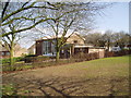
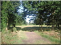
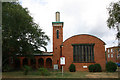
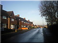
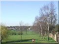
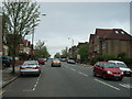
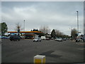
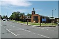
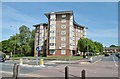
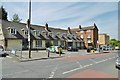
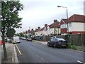
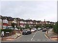
57 photos from this area
Area Information
Key information about the SE9 3AN including its size, population, and administrative classification.
- Area Type
- Postcode
- Area Size
- 3.5 hectares
- Population
- 1609
- Population Density
- 3459 people/km²
House Prices in SE9 3AN
26
Properties
£383,363
Average Sold Price
£87,000
Lowest Price
£551,000
Highest Price
Showing 26 properties
| Address | Type | Beds | Baths | Last Sale Price | Last Sale Date | |
|---|---|---|---|---|---|---|
| 606 Sidcup Road, Eltham, SE9 3AN | Semi-detached | 4 | 2 | £551,000 | Sep 2024 | |
| 608 Sidcup Road, Eltham, SE9 3AN | house | - | - | £520,000 | Nov 2021 | |
| 572 Sidcup Road, Eltham, SE9 3AN | Semi-detached | 4 | - | £550,000 | Jun 2021 | |
| 570 Sidcup Road, Eltham, SE9 3AN | Semi-detached | 4 | 1 | £490,000 | Oct 2018 | |
| 612 Sidcup Road, Eltham, SE9 3AN | Semi-detached | 4 | 1 | £465,000 | Dec 2015 | |
| 602 Sidcup Road, Eltham, SE9 3AN | Semi-detached | 4 | 1 | £415,000 | Sep 2014 | |
| 604 Sidcup Road, Eltham, SE9 3AN | Semi-detached | 4 | - | £335,000 | Feb 2014 | |
| 600 Sidcup Road, Eltham, SE9 3AN | house | - | - | £304,000 | Jan 2010 | |
| 620 Sidcup Road, Eltham, SE9 3AN | Semi-detached | - | - | £250,000 | Oct 2008 | |
| 598 Sidcup Road, Eltham, SE9 3AN | Semi-detached | 4 | - | £249,995 | Sep 2005 |
Page 1 of 3
Energy Efficiency in SE9 3AN
Amenities
Schools
| Rank | School | Type | Entry gender | Ages |
|---|
Explore more schools in this area
Go to Schools tabDemographics
Household Size
Family (3-5 people)
most common
Accommodation Type
Houses
most common
Tenure
80
majority
Ethnic Group
White
most common
Religion
N/A
most common
Household Composition
N/A
most common
Age
47
median
Adults (30-64 years)
most common
Household Deprivation
N/A
with no deprivation
NS-SEC
42
in Lower managerial occupations
Explore more demographic insights in this area
Go to Demographics tabPlanning
Planning Constraints
- Flood RiskPremium
- Ramsar Wetland SitesPremium
- Area of Outstanding Natural BeautyPremium
- Protected Nature ReservePremium
- Protected WoodlandPremium