Area Overview for SE9 2QF
Photos of SE9 2QF
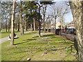
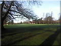

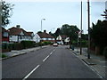
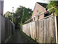
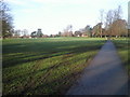
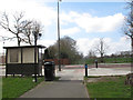
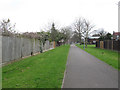
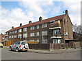
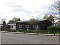
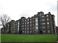
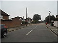
63 photos from this area
Area Information
Key information about the SE9 2QF including its size, population, and administrative classification.
- Area Type
- Postcode
- Area Size
- 1.8 hectares
- Population
- 1493
- Population Density
- 1691 people/km²
House Prices in SE9 2QF
32
Properties
£412,596
Average Sold Price
£117,000
Lowest Price
£855,000
Highest Price
Showing 32 properties
| Address | Type | Beds | Baths | Last Sale Price | Last Sale Date | |
|---|---|---|---|---|---|---|
| 28 Colepits Wood Road, Eltham, SE9 2QF | Semi-detached | 4 | - | £855,000 | Sep 2022 | |
| 6 Colepits Wood Road, Eltham, SE9 2QF | house | - | - | £650,000 | Jun 2021 | |
| 54 Colepits Wood Road, Eltham, SE9 2QF | Semi-detached | 5 | 2 | £697,500 | Sep 2020 | |
| 4 Colepits Wood Road, Eltham, SE9 2QF | Semi-detached | 4 | 1 | £690,000 | Mar 2020 | |
| 52 Colepits Wood Road, Eltham, SE9 2QF | Semi-detached | 3 | 2 | £610,000 | Oct 2019 | |
| 36 Colepits Wood Road, Eltham, SE9 2QF | Detached | 3 | 1 | £730,000 | Nov 2018 | |
| 26 Colepits Wood Road, Eltham, SE9 2QF | Semi-detached | 3 | 1 | £655,000 | Oct 2018 | |
| 24 Colepits Wood Road, Eltham, SE9 2QF | Semi-detached | 3 | 2 | £610,000 | Jun 2017 | |
| 8 Colepits Wood Road, Eltham, SE9 2QF | Semi-detached | 3 | - | £480,000 | Oct 2014 | |
| 40 Colepits Wood Road, Eltham, SE9 2QF | Semi-detached | 3 | - | £370,000 | Apr 2012 |
Page 1 of 4
Energy Efficiency in SE9 2QF
Amenities
Schools
| Rank | School | Type | Entry gender | Ages |
|---|
Explore more schools in this area
Go to Schools tabDemographics
Household Size
Family (3-5 people)
most common
Accommodation Type
Houses
most common
Tenure
89
majority
Ethnic Group
White
most common
Religion
N/A
most common
Household Composition
N/A
most common
Age
47
median
Adults (30-64 years)
most common
Household Deprivation
N/A
with no deprivation
NS-SEC
45
in Lower managerial occupations
Explore more demographic insights in this area
Go to Demographics tabPlanning
Planning Constraints
- Flood RiskPremium
- Ramsar Wetland SitesPremium
- Area of Outstanding Natural BeautyPremium
- Protected Nature ReservePremium
- Protected WoodlandPremium