Area Overview for SE9 2NF
Photos of SE9 2NF
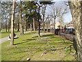
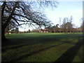

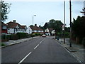
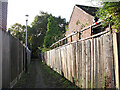
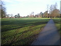
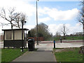
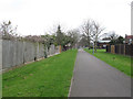
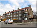

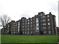
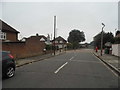
63 photos from this area
Area Information
Key information about the SE9 2NF including its size, population, and administrative classification.
- Area Type
- Postcode
- Area Size
- 1.1 hectares
- Population
- 1493
- Population Density
- 1691 people/km²
House Prices in SE9 2NF
20
Properties
£508,000
Average Sold Price
£166,000
Lowest Price
£775,000
Highest Price
Showing 20 properties
| Address | Type | Beds | Baths | Last Sale Price | Last Sale Date | |
|---|---|---|---|---|---|---|
| 35 Rennets Wood Road, Eltham, SE9 2NF | Semi-detached | 4 | 1 | £752,500 | Jul 2024 | |
| 29 Rennets Wood Road, Eltham, SE9 2NF | Semi-detached | 3 | 1 | £688,000 | Jun 2024 | |
| 33 Rennets Wood Road, Eltham, SE9 2NF | Retail | 3 | 1 | £645,000 | Oct 2022 | |
| 3 Rennets Wood Road, Eltham, SE9 2NF | Retail | 3 | 1 | £675,000 | Sep 2022 | |
| 1 Rennets Wood Road, Eltham, SE9 2NF | Retail | 4 | 2 | £725,000 | Jul 2022 | |
| 21 Rennets Wood Road, Eltham, SE9 2NF | house | - | - | £625,000 | Mar 2021 | |
| 31 Rennets Wood Road, Eltham, SE9 2NF | house | - | - | £775,000 | Mar 2020 | |
| 25 Rennets Wood Road, Eltham, SE9 2NF | Semi-detached | 4 | 1 | £717,000 | Jun 2017 | |
| 7 Rennets Wood Road, Eltham, SE9 2NF | house | - | - | £432,000 | Apr 2012 | |
| 13 Rennets Wood Road, Eltham, SE9 2NF | Semi-detached | - | - | £330,000 | Feb 2011 |
Page 1 of 2
Energy Efficiency in SE9 2NF
Amenities
Schools
| Rank | School | Type | Entry gender | Ages |
|---|
Explore more schools in this area
Go to Schools tabDemographics
Household Size
Family (3-5 people)
most common
Accommodation Type
Houses
most common
Tenure
89
majority
Ethnic Group
White
most common
Religion
N/A
most common
Household Composition
N/A
most common
Age
47
median
Adults (30-64 years)
most common
Household Deprivation
N/A
with no deprivation
NS-SEC
45
in Lower managerial occupations
Explore more demographic insights in this area
Go to Demographics tabPlanning
Planning Constraints
- Flood RiskPremium
- Ramsar Wetland SitesPremium
- Area of Outstanding Natural BeautyPremium
- Protected Nature ReservePremium
- Protected WoodlandPremium