Area Overview for SE9 1XQ
Photos of SE9 1XQ
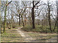
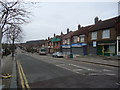
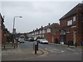
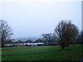
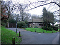
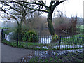
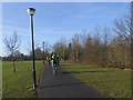
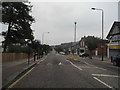
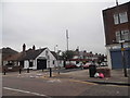
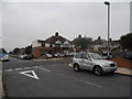
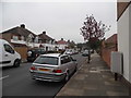
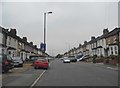
91 photos from this area
Area Information
Key information about the SE9 1XQ including its size, population, and administrative classification.
- Area Type
- Postcode
- Area Size
- 8531 m²
- Population
- 1627
- Population Density
- 7718 people/km²
House Prices in SE9 1XQ
20
Properties
£505,031
Average Sold Price
£205,000
Lowest Price
£735,000
Highest Price
Showing 20 properties
| Address | Type | Beds | Baths | Last Sale Price | Last Sale Date | |
|---|---|---|---|---|---|---|
| 226 Westmount Road, Eltham, SE9 1XQ | Terraced | 3 | 1 | £675,000 | Jan 2025 | |
| 206 Westmount Road, Eltham, SE9 1XQ | Terraced | 4 | 1 | £735,000 | Jul 2024 | |
| 196 Westmount Road, Eltham, SE9 1XQ | Terraced | 3 | 2 | £670,000 | Dec 2023 | |
| 202 Westmount Road, Eltham, SE9 1XQ | Terraced | 5 | 2 | £710,000 | Nov 2023 | |
| 204 Westmount Road, Eltham, SE9 1XQ | Terraced | 3 | 1 | £707,500 | Jul 2022 | |
| 210 Westmount Road, Eltham, SE9 1XQ | Terraced | 3 | 2 | £620,000 | Jun 2021 | |
| 194 Westmount Road, Eltham, SE9 1XQ | Terraced | 4 | 2 | £535,000 | Dec 2019 | |
| 216 Westmount Road, Eltham, SE9 1XQ | Terraced | 4 | 2 | £570,000 | Oct 2019 | |
| 200 Westmount Road, Eltham, SE9 1XQ | Semi-detached | 3 | 1 | £480,000 | Sep 2018 | |
| 222 Westmount Road, Eltham, SE9 1XQ | Terraced | 3 | 1 | £500,000 | Jun 2017 |
Page 1 of 2
Energy Efficiency in SE9 1XQ
Amenities
Schools
| Rank | School | Type | Entry gender | Ages |
|---|
Explore more schools in this area
Go to Schools tabDemographics
Household Size
Family (3-5 people)
most common
Accommodation Type
Houses
most common
Tenure
87
majority
Ethnic Group
White
most common
Religion
N/A
most common
Household Composition
N/A
most common
Age
47
median
Adults (30-64 years)
most common
Household Deprivation
N/A
with no deprivation
NS-SEC
46
in Lower managerial occupations
Explore more demographic insights in this area
Go to Demographics tabPlanning
Planning Constraints
- Flood RiskPremium
- Ramsar Wetland SitesPremium
- Area of Outstanding Natural BeautyPremium
- Protected Nature ReservePremium
- Protected WoodlandPremium