Area Overview for SE9 1QT
Photos of SE9 1QT
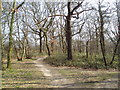
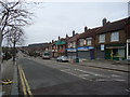
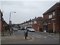
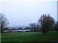
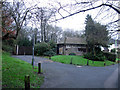
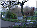
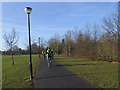
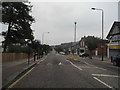
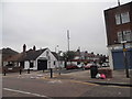
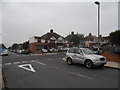
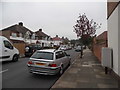
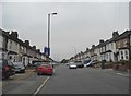
91 photos from this area
Area Information
Key information about the SE9 1QT including its size, population, and administrative classification.
- Area Type
- Postcode
- Area Size
- 9955 m²
- Population
- 1627
- Population Density
- 7718 people/km²
House Prices in SE9 1QT
31
Properties
£354,420
Average Sold Price
£50,000
Lowest Price
£660,000
Highest Price
Showing 31 properties
| Address | Type | Beds | Baths | Last Sale Price | Last Sale Date | |
|---|---|---|---|---|---|---|
| 131 Glenesk Road, Eltham, SE9 1QT | Terraced | 4 | 2 | £660,000 | Jun 2025 | |
| 135 Glenesk Road, Eltham, SE9 1QT | Terraced | 3 | 1 | £532,000 | Jul 2024 | |
| 139 Glenesk Road, Eltham, SE9 1QT | Terraced | 3 | 1 | £500,000 | Jul 2024 | |
| 129 Glenesk Road, Eltham, SE9 1QT | Terraced | 3 | 1 | £510,000 | Apr 2023 | |
| 88 Glenesk Road, Eltham, SE9 1QT | Semi-detached | 3 | 1 | £650,000 | Nov 2022 | |
| 98 Glenesk Road, Eltham, SE9 1QT | house | - | - | £600,000 | Sep 2021 | |
| 105 Glenesk Road, Eltham, SE9 1QT | Terraced | 3 | 1 | £535,000 | Jul 2021 | |
| 113 Glenesk Road, Eltham, SE9 1QT | house | - | - | £480,000 | Jun 2021 | |
| 96 Glenesk Road, Eltham, SE9 1QT | Semi-detached | 3 | 1 | £545,000 | Apr 2021 | |
| 123A Glenesk Road, Eltham, SE9 1QT | house | 3 | 2 | £140,000 | Jan 2019 |
Page 1 of 4
Energy Efficiency in SE9 1QT
Amenities
Schools
| Rank | School | Type | Entry gender | Ages |
|---|
Explore more schools in this area
Go to Schools tabDemographics
Household Size
Family (3-5 people)
most common
Accommodation Type
Houses
most common
Tenure
87
majority
Ethnic Group
White
most common
Religion
N/A
most common
Household Composition
N/A
most common
Age
47
median
Adults (30-64 years)
most common
Household Deprivation
N/A
with no deprivation
NS-SEC
46
in Lower managerial occupations
Explore more demographic insights in this area
Go to Demographics tabPlanning
Planning Constraints
- Flood RiskPremium
- Ramsar Wetland SitesPremium
- Area of Outstanding Natural BeautyPremium
- Protected Nature ReservePremium
- Protected WoodlandPremium