Area Overview for SE9 1PJ
Photos of SE9 1PJ
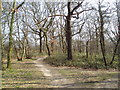
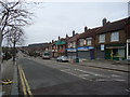
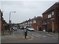
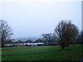
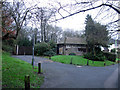
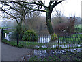
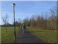
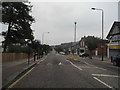
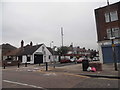
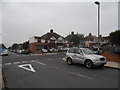
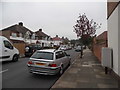
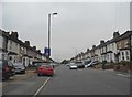
91 photos from this area
Area Information
Key information about the SE9 1PJ including its size, population, and administrative classification.
- Area Type
- Postcode
- Area Size
- 6796 m²
- Population
- 1627
- Population Density
- 7718 people/km²
House Prices in SE9 1PJ
23
Properties
£371,516
Average Sold Price
£115,750
Lowest Price
£630,000
Highest Price
Showing 23 properties
| Address | Type | Beds | Baths | Last Sale Price | Last Sale Date | |
|---|---|---|---|---|---|---|
| 149 Earlshall Road, Eltham, SE9 1PJ | Terraced | 3 | 1 | £560,000 | Aug 2023 | |
| 151 Earlshall Road, Eltham, SE9 1PJ | Terraced | 4 | 2 | £630,000 | Mar 2023 | |
| 139 Earlshall Road, Eltham, SE9 1PJ | Terraced | 3 | 1 | £579,000 | Jul 2022 | |
| 131 Earlshall Road, Eltham, SE9 1PJ | Terraced | 3 | 1 | £520,000 | Feb 2021 | |
| 147 Earlshall Road, Eltham, SE9 1PJ | Terraced | 3 | 2 | £535,000 | Mar 2020 | |
| 137 Earlshall Road, Eltham, SE9 1PJ | Terraced | 3 | 1 | £435,000 | Oct 2018 | |
| 141 Earlshall Road, Eltham, SE9 1PJ | Terraced | 4 | 2 | £450,000 | Aug 2015 | |
| 129 Earlshall Road, Eltham, SE9 1PJ | Terraced | 3 | 1 | £285,000 | Jul 2013 | |
| 157 Earlshall Road, Eltham, SE9 1PJ | house | - | - | £315,000 | Jun 2013 | |
| 133 Earlshall Road, Eltham, SE9 1PJ | Terraced | 3 | 2 | £310,000 | Jun 2012 |
Page 1 of 3
Energy Efficiency in SE9 1PJ
Amenities
Schools
| Rank | School | Type | Entry gender | Ages |
|---|
Explore more schools in this area
Go to Schools tabDemographics
Household Size
Family (3-5 people)
most common
Accommodation Type
Houses
most common
Tenure
87
majority
Ethnic Group
White
most common
Religion
N/A
most common
Household Composition
N/A
most common
Age
47
median
Adults (30-64 years)
most common
Household Deprivation
N/A
with no deprivation
NS-SEC
46
in Lower managerial occupations
Explore more demographic insights in this area
Go to Demographics tabPlanning
Planning Constraints
- Flood RiskPremium
- Ramsar Wetland SitesPremium
- Area of Outstanding Natural BeautyPremium
- Protected Nature ReservePremium
- Protected WoodlandPremium