Area Overview for SE9 1NJ
Photos of SE9 1NJ
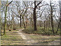
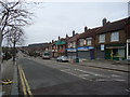
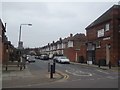
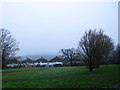
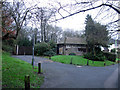
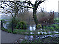
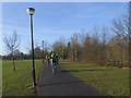
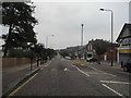
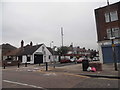
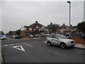
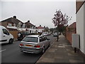
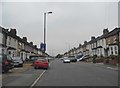
91 photos from this area
Area Information
Key information about the SE9 1NJ including its size, population, and administrative classification.
- Area Type
- Postcode
- Area Size
- 4687 m²
- Population
- 1761
- Population Density
- 7972 people/km²
House Prices in SE9 1NJ
12
Properties
£510,143
Average Sold Price
£283,500
Lowest Price
£685,000
Highest Price
Showing 12 properties
| Address | Type | Beds | Baths | Last Sale Price | Last Sale Date | |
|---|---|---|---|---|---|---|
| 132 Castlewood Drive, Eltham, SE9 1NJ | Semi-detached | 2 | 1 | £685,000 | Nov 2022 | |
| 157 Castlewood Drive, Eltham, SE9 1NJ | Terraced | 3 | 1 | £500,000 | Nov 2022 | |
| 153 Castlewood Drive, Eltham, SE9 1NJ | house | - | - | £580,000 | Jul 2022 | |
| 134 Castlewood Drive, Eltham, SE9 1NJ | house | - | - | £565,000 | Aug 2021 | |
| 163 Castlewood Drive, Eltham, SE9 1NJ | house | - | - | £497,500 | Oct 2020 | |
| 165 Castlewood Drive, Eltham, SE9 1NJ | Semi-detached | 3 | - | £460,000 | Jun 2019 | |
| 167 Castlewood Drive, Eltham, SE9 1NJ | house | - | - | £283,500 | Sep 2010 | |
| 136 Castlewood Drive, Eltham, SE9 1NJ | house | 2 | 1 | - | - | |
| 130 Castlewood Drive, Eltham, SE9 1NJ | house | 2 | 1 | - | - | |
| 155 Castlewood Drive, Eltham, SE9 1NJ | Terraced | - | - | - | - |
Page 1 of 2
Energy Efficiency in SE9 1NJ
Amenities
Schools
| Rank | School | Type | Entry gender | Ages |
|---|
Explore more schools in this area
Go to Schools tabDemographics
Household Size
Family (3-5 people)
most common
Accommodation Type
Houses
most common
Tenure
73
majority
Ethnic Group
White
most common
Religion
N/A
most common
Household Composition
N/A
most common
Age
47
median
Adults (30-64 years)
most common
Household Deprivation
N/A
with no deprivation
NS-SEC
44
in Lower managerial occupations
Explore more demographic insights in this area
Go to Demographics tabPlanning
Planning Constraints
- Flood RiskPremium
- Ramsar Wetland SitesPremium
- Area of Outstanding Natural BeautyPremium
- Protected Nature ReservePremium
- Protected WoodlandPremium