Area Overview for SE9 1AD
Photos of SE9 1AD
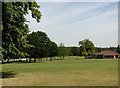
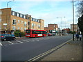
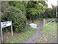
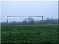
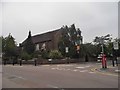
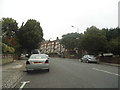
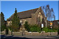
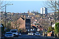
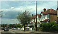
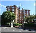
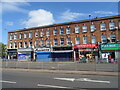
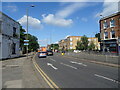
64 photos from this area
Area Information
Key information about the SE9 1AD including its size, population, and administrative classification.
- Area Type
- Postcode
- Area Size
- 6620 m²
- Population
- 1991
- Population Density
- 2085 people/km²
House Prices in SE9 1AD
32
Properties
£188,292
Average Sold Price
£62,000
Lowest Price
£285,000
Highest Price
Showing 32 properties
| Address | Type | Beds | Baths | Last Sale Price | Last Sale Date | |
|---|---|---|---|---|---|---|
| 49 Marlowe Gardens, Eltham, SE9 1AD | Flat | - | - | £255,000 | Dec 2023 | |
| 62 Marlowe Gardens, Eltham, SE9 1AD | Flat | 2 | 1 | £284,000 | Sep 2023 | |
| 52 Marlowe Gardens, Eltham, SE9 1AD | Flat | - | - | £238,000 | Apr 2023 | |
| 59 Marlowe Gardens, Eltham, SE9 1AD | Flat | 1 | 1 | £225,000 | Feb 2023 | |
| 73 Marlowe Gardens, Eltham, SE9 1AD | Flat | - | - | £205,000 | Oct 2021 | |
| 60 Marlowe Gardens, Eltham, SE9 1AD | Flat | - | - | £253,000 | May 2021 | |
| 77 Marlowe Gardens, Eltham, SE9 1AD | Flat | 1 | 1 | £175,000 | Aug 2020 | |
| 79 Marlowe Gardens, Eltham, SE9 1AD | Flat | - | - | £285,000 | Mar 2020 | |
| 55 Marlowe Gardens, Eltham, SE9 1AD | Flat | - | - | £215,000 | Jan 2020 | |
| 78 Marlowe Gardens, Eltham, SE9 1AD | Flat | 2 | 1 | £285,000 | Jun 2019 |
Page 1 of 4
Energy Efficiency in SE9 1AD
Amenities
Schools
| Rank | School | Type | Entry gender | Ages |
|---|
Explore more schools in this area
Go to Schools tabDemographics
Household Size
One person
most common
Accommodation Type
Flats
most common
Tenure
45
majority
Ethnic Group
White
most common
Religion
N/A
most common
Household Composition
N/A
most common
Age
47
median
Adults (30-64 years)
most common
Household Deprivation
N/A
with no deprivation
NS-SEC
41
in Lower managerial occupations
Explore more demographic insights in this area
Go to Demographics tabPlanning
Planning Constraints
- Flood RiskPremium
- Ramsar Wetland SitesPremium
- Area of Outstanding Natural BeautyPremium
- Protected Nature ReservePremium
- Protected WoodlandPremium