Area Overview for SE8 4AU
Photos of SE8 4AU
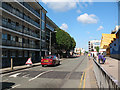


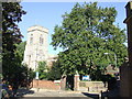
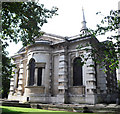
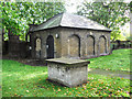
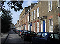
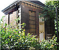
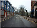
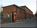
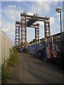
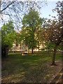
100 photos from this area
Area Information
Key information about the SE8 4AU including its size, population, and administrative classification.
- Area Type
- Postcode
- Area Size
- 1.3 hectares
- Population
- 2246
- Population Density
- 13204 people/km²
House Prices in SE8 4AU
24
Properties
£272,216
Average Sold Price
£76,000
Lowest Price
£591,500
Highest Price
Showing 24 properties
| Address | Type | Beds | Baths | Last Sale Price | Last Sale Date | |
|---|---|---|---|---|---|---|
| 16 Watsons Street, London, SE8 4AU | Terraced | 2 | 1 | £591,500 | Sep 2024 | |
| 12 Watsons Street, London, SE8 4AU | house | - | - | £580,305 | Dec 2022 | |
| 7 Watsons Street, London, SE8 4AU | Terraced | 3 | 3 | £425,000 | Jun 2015 | |
| 5 Watsons Street, London, SE8 4AU | house | 2 | - | £310,000 | Sep 2013 | |
| 23 Watsons Street, London, SE8 4AU | house | - | - | £276,000 | Apr 2013 | |
| 17 Watsons Street, London, SE8 4AU | Terraced | - | - | £205,000 | May 2005 | |
| 19 Watsons Street, London, SE8 4AU | house | - | - | £220,000 | Jan 2005 | |
| 1 Watsons Street, London, SE8 4AU | Terraced | 3 | 2 | £210,000 | Jun 2004 | |
| 3 Watsons Street, London, SE8 4AU | Terraced | 2 | 1 | £195,000 | Aug 2003 | |
| 13 Watsons Street, London, SE8 4AU | house | - | - | £170,000 | Aug 2003 |
Page 1 of 3
Energy Efficiency in SE8 4AU
Amenities
Schools
| Rank | School | Type | Entry gender | Ages |
|---|
Explore more schools in this area
Go to Schools tabDemographics
Household Size
One person
most common
Accommodation Type
Flats
most common
Tenure
25
majority
Ethnic Group
White
most common
Religion
N/A
most common
Household Composition
N/A
most common
Age
47
median
Adults (30-64 years)
most common
Household Deprivation
N/A
with no deprivation
NS-SEC
41
in Lower managerial occupations
Explore more demographic insights in this area
Go to Demographics tabPlanning
Planning Constraints
- Flood RiskPremium
- Ramsar Wetland SitesPremium
- Area of Outstanding Natural BeautyPremium
- Protected Nature ReservePremium
- Protected WoodlandPremium