Area Overview for SE7 8PN
Photos of SE7 8PN
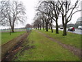
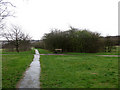
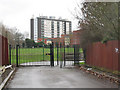
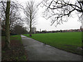
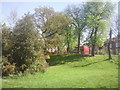
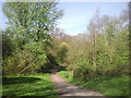
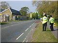
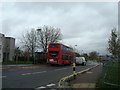
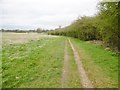
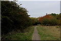
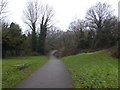
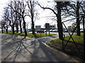
100 photos from this area
Area Information
Key information about the SE7 8PN including its size, population, and administrative classification.
- Area Type
- Postcode
- Area Size
- 2.3 hectares
- Population
- 1875
- Population Density
- 6106 people/km²
House Prices in SE7 8PN
27
Properties
£252,500
Average Sold Price
£74,000
Lowest Price
£460,000
Highest Price
Showing 27 properties
| Address | Type | Beds | Baths | Last Sale Price | Last Sale Date | |
|---|---|---|---|---|---|---|
| 136 Prince Henry Road, Charlton, SE7 8PN | Terraced | 3 | 1 | £380,000 | Apr 2024 | |
| 124 Prince Henry Road, Charlton, SE7 8PN | Retail | 3 | 1 | £457,000 | May 2022 | |
| 148 Prince Henry Road, Charlton, SE7 8PN | Terraced | 2 | 1 | £400,000 | Mar 2022 | |
| 122 Prince Henry Road, Charlton, SE7 8PN | house | 3 | - | £460,000 | Oct 2021 | |
| 150 Prince Henry Road, Charlton, SE7 8PN | Terraced | 2 | 1 | £377,000 | Jun 2018 | |
| 146 Prince Henry Road, Charlton, SE7 8PN | Terraced | 2 | - | £300,000 | Jun 2015 | |
| 154 Prince Henry Road, Charlton, SE7 8PN | Semi-detached | 3 | - | £270,000 | Aug 2013 | |
| 132 Prince Henry Road, Charlton, SE7 8PN | Terraced | 3 | - | £220,000 | May 2013 | |
| 130 Prince Henry Road, Charlton, SE7 8PN | Terraced | 3 | 1 | £210,000 | Jan 2011 | |
| 134 Prince Henry Road, Charlton, SE7 8PN | house | - | - | £172,000 | Jul 2009 |
Page 1 of 3
Energy Efficiency in SE7 8PN
Amenities
Schools
| Rank | School | Type | Entry gender | Ages |
|---|
Explore more schools in this area
Go to Schools tabDemographics
Household Size
Family (3-5 people)
most common
Accommodation Type
Houses
most common
Tenure
37
majority
Ethnic Group
White
most common
Religion
N/A
most common
Household Composition
N/A
most common
Age
47
median
Adults (30-64 years)
most common
Household Deprivation
N/A
with no deprivation
NS-SEC
26
in Lower managerial occupations
Explore more demographic insights in this area
Go to Demographics tabPlanning
Planning Constraints
- Flood RiskPremium
- Ramsar Wetland SitesPremium
- Area of Outstanding Natural BeautyPremium
- Protected Nature ReservePremium
- Protected WoodlandPremium