Area Overview for SE7 7RA
Photos of SE7 7RA
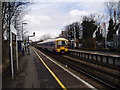
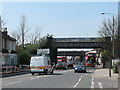
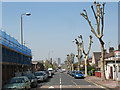
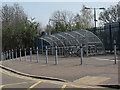
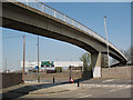
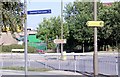

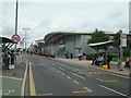
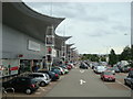
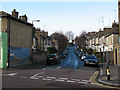
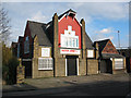
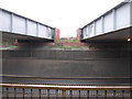
100 photos from this area
Area Information
Key information about the SE7 7RA including its size, population, and administrative classification.
- Area Type
- Postcode
- Area Size
- 3583 m²
- Population
- 1861
- Population Density
- 6425 people/km²
House Prices in SE7 7RA
23
Properties
£252,700
Average Sold Price
£70,000
Lowest Price
£450,000
Highest Price
Showing 23 properties
| Address | Type | Beds | Baths | Last Sale Price | Last Sale Date | |
|---|---|---|---|---|---|---|
| 182 Woolwich Road, Greenwich, SE7 7RA | Flat | - | - | £300,000 | Jan 2024 | |
| 180 Woolwich Road, Greenwich, SE7 7RA | house | - | - | £325,000 | Mar 2023 | |
| 192A Woolwich Road, Greenwich, SE7 7RA | Terraced | 5 | 2 | £132,500 | Dec 2022 | |
| 190 Woolwich Road, Greenwich, SE7 7RA | Terraced | 5 | - | £450,000 | Jul 2022 | |
| 162 Woolwich Road, Greenwich, SE7 7RA | Terraced | 3 | 1 | £420,000 | Sep 2019 | |
| 170 Woolwich Road, Greenwich, SE7 7RA | house | 3 | 2 | £415,000 | Mar 2016 | |
| 172A Woolwich Road, Greenwich, SE7 7RA | Flat | - | - | £240,000 | Aug 2012 | |
| 166 Woolwich Road, Greenwich, SE7 7RA | house | - | - | £200,000 | Oct 2006 | |
| 174A Woolwich Road, Greenwich, SE7 7RA | Flat | - | - | £152,200 | Oct 2005 | |
| 178 Woolwich Road, Greenwich, SE7 7RA | Flat | - | - | £70,000 | May 2000 |
Page 1 of 3
Energy Efficiency in SE7 7RA
Amenities
Schools
| Rank | School | Type | Entry gender | Ages |
|---|
Explore more schools in this area
Go to Schools tabDemographics
Household Size
Family (3-5 people)
most common
Accommodation Type
Flats
most common
Tenure
45
majority
Ethnic Group
White
most common
Religion
N/A
most common
Household Composition
N/A
most common
Age
47
median
Adults (30-64 years)
most common
Household Deprivation
N/A
with no deprivation
NS-SEC
48
in Lower managerial occupations
Explore more demographic insights in this area
Go to Demographics tabPlanning
Planning Constraints
- Flood RiskPremium
- Ramsar Wetland SitesPremium
- Area of Outstanding Natural BeautyPremium
- Protected Nature ReservePremium
- Protected WoodlandPremium