Area Overview for SE6 4TZ
Photos of SE6 4TZ
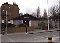
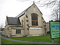
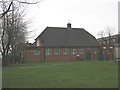
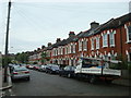
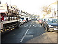
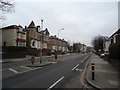
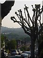
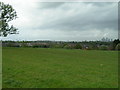
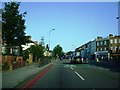
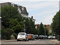
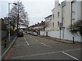

81 photos from this area
Area Information
Key information about the SE6 4TZ including its size, population, and administrative classification.
- Area Type
- Postcode
- Area Size
- 1.3 hectares
- Population
- 1748
- Population Density
- 10499 people/km²
House Prices in SE6 4TZ
42
Properties
£737,991
Average Sold Price
£82,500
Lowest Price
£4,500,000
Highest Price
Showing 42 properties
| Address | Type | Beds | Baths | Last Sale Price | Last Sale Date | |
|---|---|---|---|---|---|---|
| 347 Stanstead Road, London, SE6 4TZ | Terraced | 3 | - | £395,000 | Mar 2023 | |
| 367 Stanstead Road, London, SE6 4TZ | Terraced | - | - | £2,370,000 | Apr 2022 | |
| 351 Stanstead Road, London, SE6 4TZ | house | - | - | £334,000 | Feb 2022 | |
| 375 Stanstead Road, London, SE6 4TZ | Terraced | 3 | 1 | £480,000 | Jan 2022 | |
| 365D Stanstead Road, London, SE6 4TZ | Flat | - | - | £4,500,000 | Nov 2019 | |
| 345 Stanstead Road, London, SE6 4TZ | Detached | 4 | 2 | £350,000 | May 2018 | |
| 353 Stanstead Road, London, SE6 4TZ | house | - | - | £401,375 | Mar 2018 | |
| 361B Stanstead Road, London, SE6 4TZ | Flat | - | - | £540,000 | Jan 2015 | |
| 373 Stanstead Road, London, SE6 4TZ | house | 3 | - | £242,000 | Sep 2011 | |
| 355 Stanstead Road, London, SE6 4TZ | Terraced | - | - | £235,000 | Sep 2004 |
Page 1 of 5
Energy Efficiency in SE6 4TZ
Amenities
Schools
| Rank | School | Type | Entry gender | Ages |
|---|
Explore more schools in this area
Go to Schools tabDemographics
Household Size
One person
most common
Accommodation Type
Flats
most common
Tenure
43
majority
Ethnic Group
White
most common
Religion
N/A
most common
Household Composition
N/A
most common
Age
47
median
Adults (30-64 years)
most common
Household Deprivation
N/A
with no deprivation
NS-SEC
42
in Lower managerial occupations
Explore more demographic insights in this area
Go to Demographics tabPlanning
Planning Constraints
- Flood RiskPremium
- Ramsar Wetland SitesPremium
- Area of Outstanding Natural BeautyPremium
- Protected Nature ReservePremium
- Protected WoodlandPremium