Area Overview for SE6 4TS
Photos of SE6 4TS
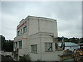
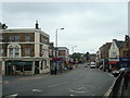
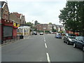
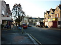
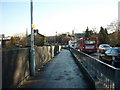
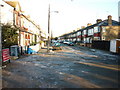
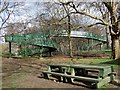
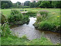
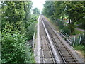
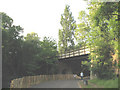

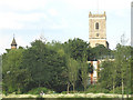
100 photos from this area
Area Information
Key information about the SE6 4TS including its size, population, and administrative classification.
- Area Type
- Postcode
- Area Size
- 9326 m²
- Population
- 1688
- Population Density
- 18092 people/km²
House Prices in SE6 4TS
56
Properties
£248,024
Average Sold Price
£37,250
Lowest Price
£610,000
Highest Price
Showing 56 properties
| Address | Type | Beds | Baths | Last Sale Price | Last Sale Date | |
|---|---|---|---|---|---|---|
| 54 Bradgate Road, London, SE6 4TS | house | - | - | £535,000 | Mar 2025 | |
| 36 Bradgate Road, London, SE6 4TS | Terraced | 4 | 1 | £610,000 | Jun 2018 | |
| 32 Bradgate Road, London, SE6 4TS | Terraced | 4 | 2 | £590,000 | Jun 2018 | |
| 26 Bradgate Road, London, SE6 4TS | house | - | - | £515,000 | May 2018 | |
| 48 Bradgate Road, London, SE6 4TS | house | 3 | 1 | £175,000 | Jul 2015 | |
| 48B Bradgate Road, London, SE6 4TS | Flat | - | - | £175,000 | Jul 2015 | |
| 28 Bradgate Road, London, SE6 4TS | house | - | - | £250,000 | Oct 2012 | |
| 62 Bradgate Road, London, SE6 4TS | house | - | - | £265,000 | Jan 2010 | |
| 12 Bradgate Road, London, SE6 4TS | Flat | 2 | 1 | £195,000 | Oct 2006 | |
| 14 Bradgate Road, London, SE6 4TS | house | - | - | £246,000 | Mar 2006 |
Page 1 of 6
Energy Efficiency in SE6 4TS
Amenities
Schools
| Rank | School | Type | Entry gender | Ages |
|---|
Explore more schools in this area
Go to Schools tabDemographics
Household Size
One person
most common
Accommodation Type
Flats
most common
Tenure
29
majority
Ethnic Group
black_total
most common
Religion
N/A
most common
Household Composition
N/A
most common
Age
47
median
Adults (30-64 years)
most common
Household Deprivation
N/A
with no deprivation
NS-SEC
26
in Lower managerial occupations
Explore more demographic insights in this area
Go to Demographics tabPlanning
Planning Constraints
- Flood RiskPremium
- Ramsar Wetland SitesPremium
- Area of Outstanding Natural BeautyPremium
- Protected Nature ReservePremium
- Protected WoodlandPremium