Area Overview for SE6 2HN
Photos of SE6 2HN

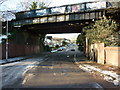

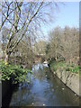
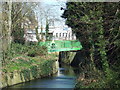
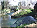
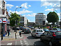
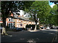
100 photos from this area
Area Information
Key information about the SE6 2HN including its size, population, and administrative classification.
- Area Type
- Postcode
- Area Size
- 6641 m²
- Population
- 1794
- Population Density
- 13653 people/km²
House Prices in SE6 2HN
53
Properties
£270,625
Average Sold Price
£59,000
Lowest Price
£542,000
Highest Price
Showing 53 properties
| Address | Type | Beds | Baths | Last Sale Price | Last Sale Date | |
|---|---|---|---|---|---|---|
| 53 Engleheart Road, London, SE6 2HN | Terraced | 3 | 2 | £469,000 | Sep 2024 | |
| 3 Engleheart Road, London, SE6 2HN | house | - | - | £542,000 | Jun 2023 | |
| 57 Engleheart Road, London, SE6 2HN | Terraced | 4 | 1 | £470,000 | Mar 2023 | |
| 43 Engleheart Road, London, SE6 2HN | Terraced | 3 | 1 | £471,250 | Oct 2019 | |
| 29 Engleheart Road, London, SE6 2HN | house | - | - | £450,000 | Aug 2017 | |
| 7 Engleheart Road, London, SE6 2HN | house | 3 | - | £535,000 | Jun 2016 | |
| 39 Engleheart Road, London, SE6 2HN | house | 3 | - | £390,000 | Nov 2015 | |
| 63 Engleheart Road, London, SE6 2HN | Flat | 1 | 1 | £165,000 | Jun 2014 | |
| 5 Engleheart Road, London, SE6 2HN | house | 3 | - | £218,000 | Sep 2011 | |
| 67A Engleheart Road, London, SE6 2HN | Flat | 2 | 1 | £140,000 | Apr 2011 |
Page 1 of 6
Energy Efficiency in SE6 2HN
Amenities
Schools
| Rank | School | Type | Entry gender | Ages |
|---|
Explore more schools in this area
Go to Schools tabDemographics
Household Size
One person
most common
Accommodation Type
Flats
most common
Tenure
37
majority
Ethnic Group
black_total
most common
Religion
N/A
most common
Household Composition
N/A
most common
Age
47
median
Adults (30-64 years)
most common
Household Deprivation
N/A
with no deprivation
NS-SEC
29
in Lower managerial occupations
Explore more demographic insights in this area
Go to Demographics tabPlanning
Planning Constraints
- Flood RiskPremium
- Ramsar Wetland SitesPremium
- Area of Outstanding Natural BeautyPremium
- Protected Nature ReservePremium
- Protected WoodlandPremium