Area Overview for SE6 2HB
Photos of SE6 2HB
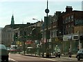
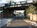
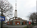
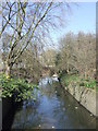
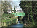
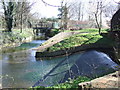
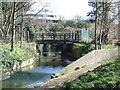
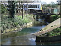
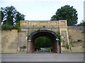
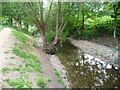
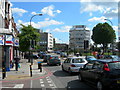
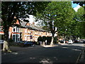
100 photos from this area
Area Information
Key information about the SE6 2HB including its size, population, and administrative classification.
- Area Type
- Postcode
- Area Size
- 5524 m²
- Population
- 1816
- Population Density
- 13573 people/km²
House Prices in SE6 2HB
44
Properties
£232,718
Average Sold Price
£23,000
Lowest Price
£582,566
Highest Price
Showing 44 properties
| Address | Type | Beds | Baths | Last Sale Price | Last Sale Date | |
|---|---|---|---|---|---|---|
| 43 Brownhill Road, London, SE6 2HB | Semi-detached | - | - | £373,333 | Nov 2024 | |
| 51A Brownhill Road, London, SE6 2HB | Flat | - | - | £365,000 | Jun 2021 | |
| 31 Brownhill Road, London, SE6 2HB | Flat | - | - | £582,566 | Jul 2020 | |
| 51C Brownhill Road, London, SE6 2HB | Flat | 2 | 1 | £225,000 | Mar 2016 | |
| 45A Brownhill Road, London, SE6 2HB | Flat | - | - | £230,000 | Dec 2014 | |
| 59 Brownhill Road, London, SE6 2HB | Terraced | 1 | 1 | £370,000 | Oct 2014 | |
| 55A Brownhill Road, London, SE6 2HB | Flat | - | - | £161,000 | Mar 2007 | |
| 55B Brownhill Road, London, SE6 2HB | Flat | - | - | £120,000 | Mar 2002 | |
| 45 Brownhill Road, London, SE6 2HB | Flat | 2 | 2 | £59,995 | Dec 2000 | |
| 51B Brownhill Road, London, SE6 2HB | Flat | 1 | - | £23,000 | Mar 1997 |
Page 1 of 5
Energy Efficiency in SE6 2HB
Amenities
Schools
| Rank | School | Type | Entry gender | Ages |
|---|
Explore more schools in this area
Go to Schools tabDemographics
Household Size
Two person
most common
Accommodation Type
Flats
most common
Tenure
39
majority
Ethnic Group
black_total
most common
Religion
N/A
most common
Household Composition
N/A
most common
Age
47
median
Adults (30-64 years)
most common
Household Deprivation
N/A
with no deprivation
NS-SEC
32
in Lower managerial occupations
Explore more demographic insights in this area
Go to Demographics tabPlanning
Planning Constraints
- Flood RiskPremium
- Ramsar Wetland SitesPremium
- Area of Outstanding Natural BeautyPremium
- Protected Nature ReservePremium
- Protected WoodlandPremium