Area Overview for SE5 0RP
Photos of SE5 0RP

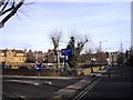
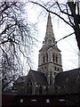
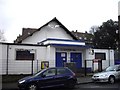
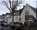
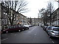
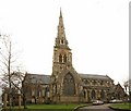
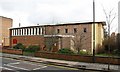
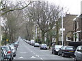
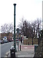
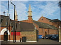
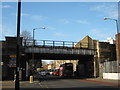
100 photos from this area
Area Information
Key information about the SE5 0RP including its size, population, and administrative classification.
- Area Type
- Postcode
- Area Size
- 1.4 hectares
- Population
- 1564
- Population Density
- 10441 people/km²
House Prices in SE5 0RP
57
Properties
£522,725
Average Sold Price
£68,500
Lowest Price
£1,165,000
Highest Price
Showing 57 properties
| Address | Type | Beds | Baths | Last Sale Price | Last Sale Date | |
|---|---|---|---|---|---|---|
| 3, Burwood Lodge, Camberwell New Road, London, SE5 0RP | Flat | 3 | 2 | £690,000 | Feb 2025 | |
| 2, Burwood Lodge, Camberwell New Road, London, SE5 0RP | Flat | 1 | 1 | £325,000 | Jul 2024 | |
| 260 Camberwell New Road, London, SE5 0RP | Terraced | 3 | 2 | £1,165,000 | Oct 2023 | |
| 274 Camberwell New Road, London, SE5 0RP | Terraced | 4 | - | £1,080,000 | Dec 2020 | |
| 1, Burwood Lodge, Camberwell New Road, London, SE5 0RP | Flat | 1 | - | £366,000 | Jan 2019 | |
| 256 Camberwell New Road, London, SE5 0RP | Terraced | 3 | 2 | £930,000 | May 2015 | |
| 262 Camberwell New Road, London, SE5 0RP | Terraced | - | - | £490,000 | Dec 2006 | |
| 268 Camberwell New Road, London, SE5 0RP | Terraced | - | - | £430,000 | Jun 2006 | |
| 270 Camberwell New Road, London, SE5 0RP | Terraced | 3 | 2 | £392,000 | Aug 2003 | |
| 266 Camberwell New Road, London, SE5 0RP | Detached | 5 | 2 | £194,200 | May 1998 |
Page 1 of 6
Energy Efficiency in SE5 0RP
Amenities
Schools
| Rank | School | Type | Entry gender | Ages |
|---|
Explore more schools in this area
Go to Schools tabDemographics
Household Size
One person
most common
Accommodation Type
Flats
most common
Tenure
31
majority
Ethnic Group
White
most common
Religion
N/A
most common
Household Composition
N/A
most common
Age
47
median
Adults (30-64 years)
most common
Household Deprivation
N/A
with no deprivation
NS-SEC
44
in Lower managerial occupations
Explore more demographic insights in this area
Go to Demographics tabPlanning
Planning Constraints
- Flood RiskPremium
- Ramsar Wetland SitesPremium
- Area of Outstanding Natural BeautyPremium
- Protected Nature ReservePremium
- Protected WoodlandPremium