Area Overview for SE3 9SL
Photos of SE3 9SL
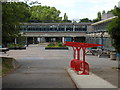
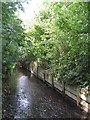
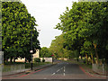
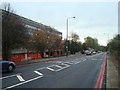
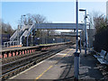
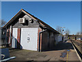
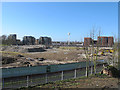
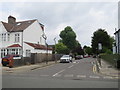
100 photos from this area
Area Information
Key information about the SE3 9SL including its size, population, and administrative classification.
- Area Type
- Postcode
- Area Size
- 1.6 hectares
- Population
- 1341
- Population Density
- 4859 people/km²
House Prices in SE3 9SL
39
Properties
£554,821
Average Sold Price
£101,000
Lowest Price
£1,087,500
Highest Price
Showing 39 properties
| Address | Type | Beds | Baths | Last Sale Price | Last Sale Date | |
|---|---|---|---|---|---|---|
| 36 The Lane, Blackheath, SE3 9SL | Semi-detached | 2 | 1 | £780,000 | Dec 2024 | |
| 5 The Lane, Blackheath, SE3 9SL | Terraced | 3 | 1 | £1,087,500 | Apr 2024 | |
| 56 The Lane, Blackheath, SE3 9SL | Terraced | 3 | 1 | £721,000 | Jul 2023 | |
| 26 The Lane, Blackheath, SE3 9SL | house | - | - | £1,002,000 | Apr 2022 | |
| 72 The Lane, Blackheath, SE3 9SL | Terraced | 3 | 1 | £720,000 | Mar 2022 | |
| 34 The Lane, Blackheath, SE3 9SL | house | - | - | £905,000 | Jan 2022 | |
| 30 The Lane, Blackheath, SE3 9SL | Terraced | 3 | 1 | £825,000 | Sep 2021 | |
| 62 The Lane, Blackheath, SE3 9SL | house | - | - | £700,000 | Dec 2020 | |
| 1 The Lane, Blackheath, SE3 9SL | Terraced | 3 | 1 | £770,000 | May 2020 | |
| 74 The Lane, Blackheath, SE3 9SL | Terraced | 3 | 1 | £625,000 | Dec 2018 |
Page 1 of 4
Energy Efficiency in SE3 9SL
Amenities
Schools
| Rank | School | Type | Entry gender | Ages |
|---|
Explore more schools in this area
Go to Schools tabDemographics
Household Size
Family (3-5 people)
most common
Accommodation Type
Houses
most common
Tenure
54
majority
Ethnic Group
White
most common
Religion
N/A
most common
Household Composition
N/A
most common
Age
47
median
Adults (30-64 years)
most common
Household Deprivation
N/A
with no deprivation
NS-SEC
51
in Lower managerial occupations
Explore more demographic insights in this area
Go to Demographics tabPlanning
Planning Constraints
- Flood RiskPremium
- Ramsar Wetland SitesPremium
- Area of Outstanding Natural BeautyPremium
- Protected Nature ReservePremium
- Protected WoodlandPremium