Area Overview for SE3 8TT
Photos of SE3 8TT
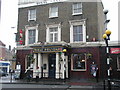
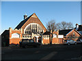
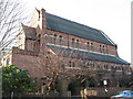
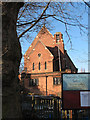
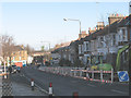
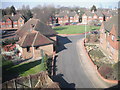
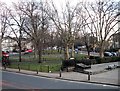
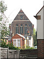
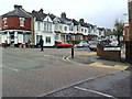
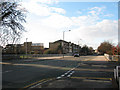
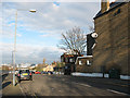
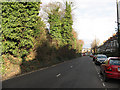
100 photos from this area
Area Information
Key information about the SE3 8TT including its size, population, and administrative classification.
- Area Type
- Postcode
- Area Size
- 4394 m²
- Population
- 1793
- Population Density
- 9666 people/km²
House Prices in SE3 8TT
21
Properties
£447,929
Average Sold Price
£195,000
Lowest Price
£700,000
Highest Price
Showing 21 properties
| Address | Type | Beds | Baths | Last Sale Price | Last Sale Date | |
|---|---|---|---|---|---|---|
| 44 Charlton Road, Charlton, SE3 8TT | Terraced | 3 | 2 | £700,000 | Mar 2025 | |
| 52 Charlton Road, Charlton, SE3 8TT | Detached | 3 | 2 | £600,000 | Feb 2024 | |
| 46 Charlton Road, Charlton, SE3 8TT | house | 3 | 1 | £485,500 | Sep 2021 | |
| 56 Charlton Road, Charlton, SE3 8TT | house | - | - | £490,000 | Apr 2021 | |
| 62 Charlton Road, Charlton, SE3 8TT | Flat | - | - | £195,000 | Jan 2016 | |
| 40 Charlton Road, Charlton, SE3 8TT | house | 4 | 2 | £430,000 | Jul 2015 | |
| 42 Charlton Road, Charlton, SE3 8TT | house | - | - | £235,000 | Mar 2010 | |
| 38 Charlton Road, Charlton, SE3 8TT | Semi-detached | 3 | 1 | - | - | |
| 66A Charlton Road, Charlton, SE3 8TT | Flat | 2 | 1 | - | - | |
| 76A Charlton Road, Charlton, SE3 8TT | Flat | - | - | - | - |
Page 1 of 3
Energy Efficiency in SE3 8TT
Amenities
Schools
| Rank | School | Type | Entry gender | Ages |
|---|
Explore more schools in this area
Go to Schools tabDemographics
Household Size
Family (3-5 people)
most common
Accommodation Type
Houses
most common
Tenure
67
majority
Ethnic Group
White
most common
Religion
N/A
most common
Household Composition
N/A
most common
Age
47
median
Adults (30-64 years)
most common
Household Deprivation
N/A
with no deprivation
NS-SEC
55
in Lower managerial occupations
Explore more demographic insights in this area
Go to Demographics tabPlanning
Planning Constraints
- Flood RiskPremium
- Ramsar Wetland SitesPremium
- Area of Outstanding Natural BeautyPremium
- Protected Nature ReservePremium
- Protected WoodlandPremium