Area Overview for SE3 8PG
Photos of SE3 8PG
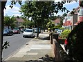
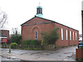
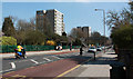
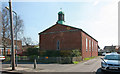
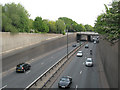
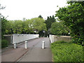
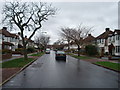
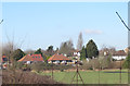
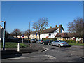
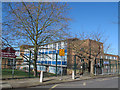
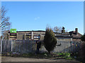
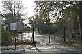
61 photos from this area
Area Information
Key information about the SE3 8PG including its size, population, and administrative classification.
- Area Type
- Postcode
- Area Size
- 1.3 hectares
- Population
- 1852
- Population Density
- 6386 people/km²
House Prices in SE3 8PG
57
Properties
£241,409
Average Sold Price
£55,000
Lowest Price
£435,000
Highest Price
Showing 57 properties
| Address | Type | Beds | Baths | Last Sale Price | Last Sale Date | |
|---|---|---|---|---|---|---|
| 79 Dursley Road, Kidbrooke, SE3 8PG | Terraced | 2 | 1 | £435,000 | Sep 2024 | |
| 98 Dursley Road, Kidbrooke, SE3 8PG | Terraced | 3 | 1 | £420,000 | Jul 2024 | |
| 41 Dursley Road, Kidbrooke, SE3 8PG | Terraced | 2 | 1 | £387,500 | Nov 2023 | |
| 80 Dursley Road, Kidbrooke, SE3 8PG | house | - | - | £395,000 | Jan 2022 | |
| 77 Dursley Road, Kidbrooke, SE3 8PG | house | - | - | £375,000 | Aug 2021 | |
| 82 Dursley Road, Kidbrooke, SE3 8PG | house | 3 | 1 | £310,000 | Aug 2014 | |
| 78 Dursley Road, Kidbrooke, SE3 8PG | Terraced | 2 | - | £260,000 | Jun 2014 | |
| 73 Dursley Road, Kidbrooke, SE3 8PG | Terraced | 2 | - | £179,000 | Dec 2010 | |
| 66 Dursley Road, Kidbrooke, SE3 8PG | house | 2 | - | £175,000 | Oct 2010 | |
| 84 Dursley Road, Kidbrooke, SE3 8PG | house | 3 | 1 | £250,000 | Jul 2008 |
Page 1 of 6
Energy Efficiency in SE3 8PG
Amenities
Schools
| Rank | School | Type | Entry gender | Ages |
|---|
Explore more schools in this area
Go to Schools tabDemographics
Household Size
Family (3-5 people)
most common
Accommodation Type
Houses
most common
Tenure
52
majority
Ethnic Group
White
most common
Religion
N/A
most common
Household Composition
N/A
most common
Age
47
median
Adults (30-64 years)
most common
Household Deprivation
N/A
with no deprivation
NS-SEC
31
in Lower managerial occupations
Explore more demographic insights in this area
Go to Demographics tabPlanning
Planning Constraints
- Flood RiskPremium
- Ramsar Wetland SitesPremium
- Area of Outstanding Natural BeautyPremium
- Protected Nature ReservePremium
- Protected WoodlandPremium