Area Overview for SE3 7SW
Photos of SE3 7SW
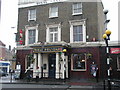
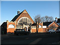
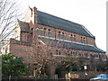
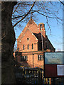
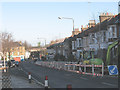
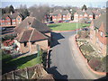
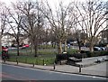
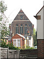
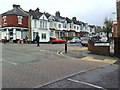
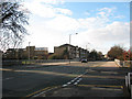
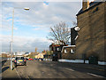
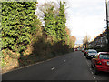
100 photos from this area
Area Information
Key information about the SE3 7SW including its size, population, and administrative classification.
- Area Type
- Postcode
- Area Size
- 3235 m²
- Population
- 1529
- Population Density
- 8532 people/km²
House Prices in SE3 7SW
21
Properties
£245,938
Average Sold Price
£43,500
Lowest Price
£465,000
Highest Price
Showing 21 properties
| Address | Type | Beds | Baths | Last Sale Price | Last Sale Date | |
|---|---|---|---|---|---|---|
| 5 Holywell Close, Blackheath, SE3 7SW | Flat | 1 | 1 | £335,000 | Aug 2025 | |
| 2 Holywell Close, Blackheath, SE3 7SW | Flat | 1 | 1 | £265,000 | Dec 2014 | |
| 15 Holywell Close, Blackheath, SE3 7SW | house | - | - | £465,000 | Jun 2013 | |
| 4 Holywell Close, Blackheath, SE3 7SW | Flat | - | - | £165,000 | Dec 2006 | |
| 11 Holywell Close, Blackheath, SE3 7SW | house | - | - | £205,000 | Apr 2004 | |
| 10 Holywell Close, Blackheath, SE3 7SW | house | 4 | 2 | £240,000 | Oct 2003 | |
| 16 Holywell Close, Blackheath, SE3 7SW | Semi-detached | - | - | £249,000 | Jul 2002 | |
| 8 Holywell Close, Blackheath, SE3 7SW | Flat | - | - | £43,500 | Aug 1996 | |
| Room 4, 10 Holywell Close, Blackheath, SE3 7SW | Unknown | - | - | - | - | |
| Room 1, 10 Holywell Close, Blackheath, SE3 7SW | Unknown | - | - | - | - |
Page 1 of 3
Energy Efficiency in SE3 7SW
Amenities
Schools
| Rank | School | Type | Entry gender | Ages |
|---|
Explore more schools in this area
Go to Schools tabDemographics
Household Size
Family (3-5 people)
most common
Accommodation Type
Houses
most common
Tenure
61
majority
Ethnic Group
White
most common
Religion
N/A
most common
Household Composition
N/A
most common
Age
47
median
Adults (30-64 years)
most common
Household Deprivation
N/A
with no deprivation
NS-SEC
59
in Lower managerial occupations
Explore more demographic insights in this area
Go to Demographics tabPlanning
Planning Constraints
- Flood RiskPremium
- Ramsar Wetland SitesPremium
- Area of Outstanding Natural BeautyPremium
- Protected Nature ReservePremium
- Protected WoodlandPremium