Area Overview for SE3 7SB
Photos of SE3 7SB
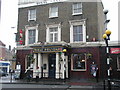
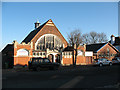
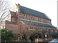
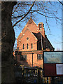
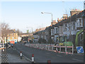
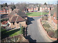
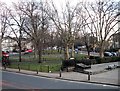
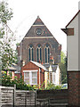
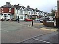
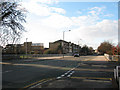
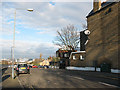
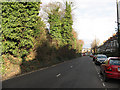
100 photos from this area
Area Information
Key information about the SE3 7SB including its size, population, and administrative classification.
- Area Type
- Postcode
- Area Size
- 1.4 hectares
- Population
- 1578
- Population Density
- 7558 people/km²
House Prices in SE3 7SB
69
Properties
£816,052
Average Sold Price
£174,179
Lowest Price
£1,455,000
Highest Price
Showing 69 properties
| Address | Type | Beds | Baths | Last Sale Price | Last Sale Date | |
|---|---|---|---|---|---|---|
| 44 Glenluce Road, Blackheath, SE3 7SB | Semi-detached | 5 | 2 | £1,455,000 | Dec 2023 | |
| 46 Glenluce Road, Blackheath, SE3 7SB | Semi-detached | 4 | 2 | £1,420,000 | Oct 2022 | |
| 50 Glenluce Road, Blackheath, SE3 7SB | Semi-detached | 4 | 1 | £1,400,000 | Aug 2021 | |
| 22C Glenluce Road, Blackheath, SE3 7SB | Flat | 2 | 1 | £174,179 | Mar 2021 | |
| 22B Glenluce Road, Blackheath, SE3 7SB | Flat | - | - | £585,000 | Jun 2020 | |
| 48 Glenluce Road, Blackheath, SE3 7SB | Semi-detached | 5 | 3 | £1,290,000 | Mar 2016 | |
| 6 Glenluce Road, Blackheath, SE3 7SB | house | - | - | £800,000 | Nov 2013 | |
| 52 Glenluce Road, Blackheath, SE3 7SB | Semi-detached | 5 | 3 | £687,000 | Sep 2007 | |
| 42 Glenluce Road, Blackheath, SE3 7SB | Semi-detached | - | - | £730,000 | Aug 2007 | |
| 56 Glenluce Road, Blackheath, SE3 7SB | house | - | - | £817,500 | Aug 2004 |
Page 1 of 7
Energy Efficiency in SE3 7SB
Amenities
Schools
| Rank | School | Type | Entry gender | Ages |
|---|
Explore more schools in this area
Go to Schools tabDemographics
Household Size
One person
most common
Accommodation Type
Flats
most common
Tenure
44
majority
Ethnic Group
White
most common
Religion
N/A
most common
Household Composition
N/A
most common
Age
47
median
Adults (30-64 years)
most common
Household Deprivation
N/A
with no deprivation
NS-SEC
50
in Lower managerial occupations
Explore more demographic insights in this area
Go to Demographics tabPlanning
Planning Constraints
- Flood RiskPremium
- Ramsar Wetland SitesPremium
- Area of Outstanding Natural BeautyPremium
- Protected Nature ReservePremium
- Protected WoodlandPremium